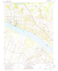
1967 Map of Joppa
USGS Topo · Published 1977About this map
Joppa sits as a riverfront hub along the Ohio River, where industrial infrastructure and rural landscapes converge in the late 1960s. The landscape is defined by its energy and transportation networks, featuring the massive Shawnee Steam Plant (TVA) and the Paducah Plant (AEC), supported by an extensive system of conveyors and rail lines like the Chicago Burlington and Quincy. Just north of the river, the Mermet Lake State Conservation Area provides a contrast to the industrial activities along the banks.
Find a feature on this map
59 named features on this map. Tap any name to fly to it.
Don’t see what you’re looking for? This feature index may not catch every label — zoom into the map to look around manually.
Map Details
Editions of this 1967 Joppa Map
2 editions found
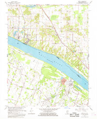
Other maps of this area

1917 · Brownfield
USGS Topo · 1:62,500

1918 · Vienna
USGS Topo · 1:62,500

1919 · Vienna
USGS Topo · 1:62,500

1926 · Paducah
USGS Topo · 1:62,500

1928 · La Center
USGS Topo · 1:62,500

1929 · Paducah
USGS Topo · 1:62,500

1932 · La Center
USGS Topo · 1:62,500

1940 · Paducah
USGS Topo · 1:62,500

1942 · Vienna
USGS Topo · 1:62,500

1949 · Paducah
USGS Topo · 1:250,000