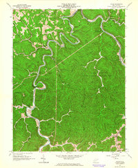
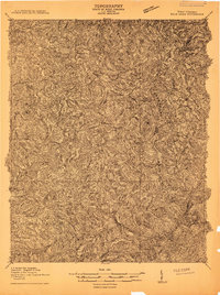
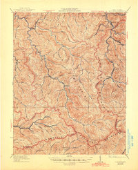
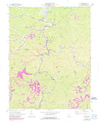
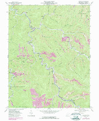
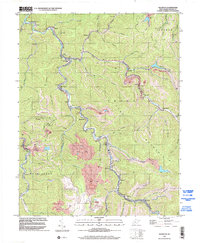
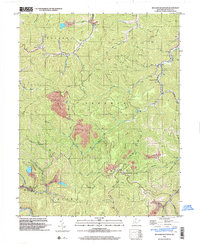
1962 Map of Julian
USGS Topo · Published 1964This historical map portrays the area of Julian in 1962, primarily covering Boone County as well as portions of Kanawha County and Lincoln County. Featuring a scale of 1:24000, this map provides a highly detailed snapshot of the terrain, roads, buildings, counties, and historical landmarks in the Julian region at the time. Published in 1964, it is one of 4 known editions of this map due to revisions or reprints.
Find a feature on this map
65 named features on this map. Tap any name to fly to it.
Don’t see what you’re looking for? This feature index may not catch every label — zoom into the map to look around manually.
Map Details
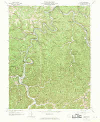
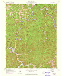
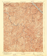
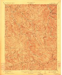
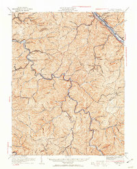
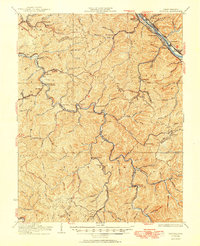
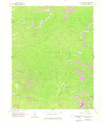
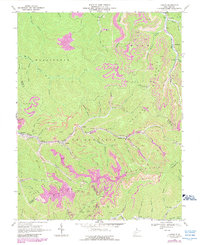
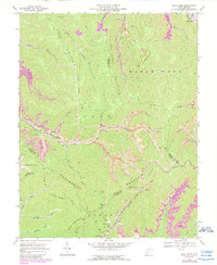
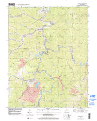
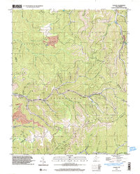
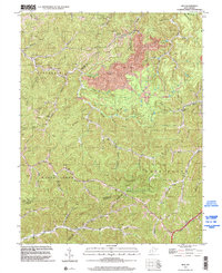
Editions of this 1962 Julian Map
4 editions found
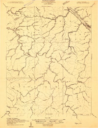
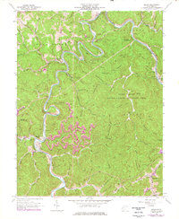
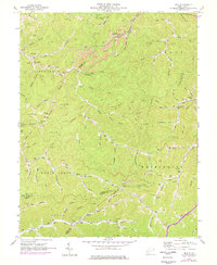
Historical Maps of Altman Through Time
20 maps found
1909 Peytona
Boone County, WV
1910 Bald Knob
Boone County, WV
1911 Peytona
Boone County, WV
1912 Bald Knob
Boone County, WV

1928 Bald Knob
Boone County, WV
1929 Peytona
Boone County, WV
1931 Bald Knob
Boone County, WV
1931 Peytona
Boone County, WV
1962 Julian
Boone County, WV
1962 Mud
Boone County, WV
1963 Clothier
Boone County, WV
1965 Williams Mountain
Boone County, WV
1968 Lorado
Boone County, WV
1968 Pilot Knob
Boone County, WV
1968 Wharton
Boone County, WV
1996 Clothier
Boone County, WV
1996 Lorado
Boone County, WV
1996 Mud
Boone County, WV
1996 Wharton
Boone County, WV
1996 Williams Mountain
Boone County, WV