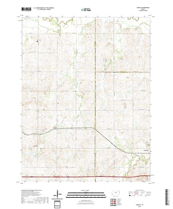
2022 Map of Juniata
USGS Topo · Published 2022About this map
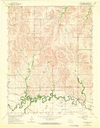
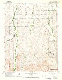
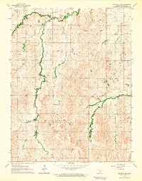
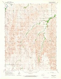
Saline River cuts through the northern reaches of this Kansas landscape, where the borders of Lincoln, Ottawa, and Saline Counties meet. The terrain is defined by a dense network of drainage systems, including the wandering paths of Table Rock Cr and Mulberry Cr. Small settlements like Juniata and Glendale serve as local anchors in a region primarily organized by a rigid grid of rural roads, such as W Shipton Rd and Lockard Rd.
Find a feature on this map
32 named features on this map. Tap any name to fly to it.
Don’t see what you’re looking for? This feature index may not catch every label — zoom into the map to look around manually.
Map Details
Editions of this 2022 Juniata Map
This is the sole edition of this map. No revisions or reprints were ever made.
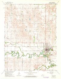
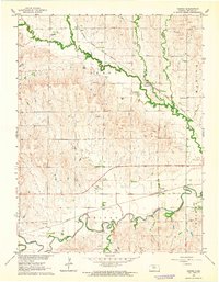
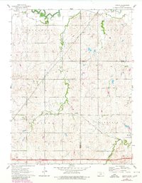
Historical Maps of Juniata Through Time
20 maps found
1962 Lincoln
Lincoln County, KS
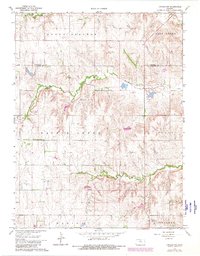
1962 Vesper
Lincoln County, KS
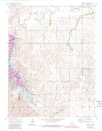
1963 Juniata
Lincoln County, KS
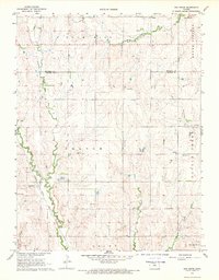
1963 Shady Bend
Lincoln County, KS
1963 Westfall
Lincoln County, KS
1964 Westfall NW
Lincoln County, KS
1964 Wilson NE
Lincoln County, KS
1964 Wilson NW
Lincoln County, KS
1968 Ash Grove
Lincoln County, KS
1968 Lincoln NW
Lincoln County, KS
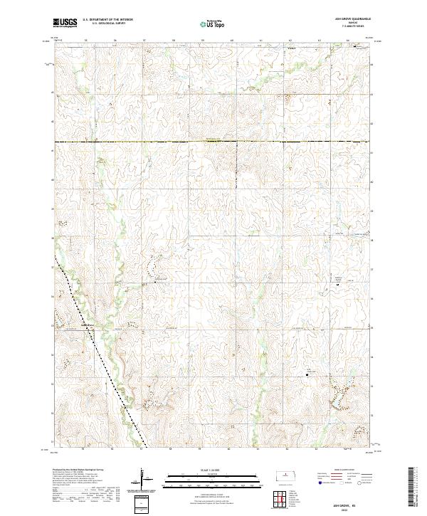
2022 Ash Grove
Lincoln County, KS
2022 Juniata
Lincoln County, KS
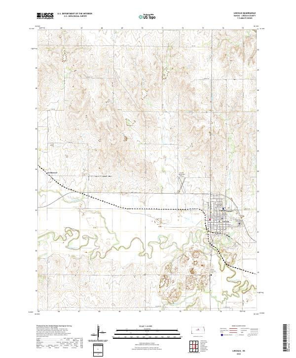
2022 Lincoln
Lincoln County, KS
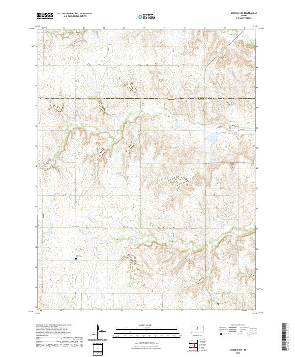
2022 Lincoln NW
Lincoln County, KS
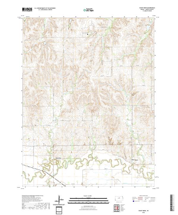
2022 Shady Bend
Lincoln County, KS
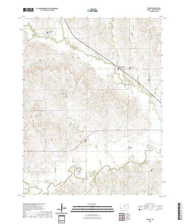
2022 Vesper
Lincoln County, KS
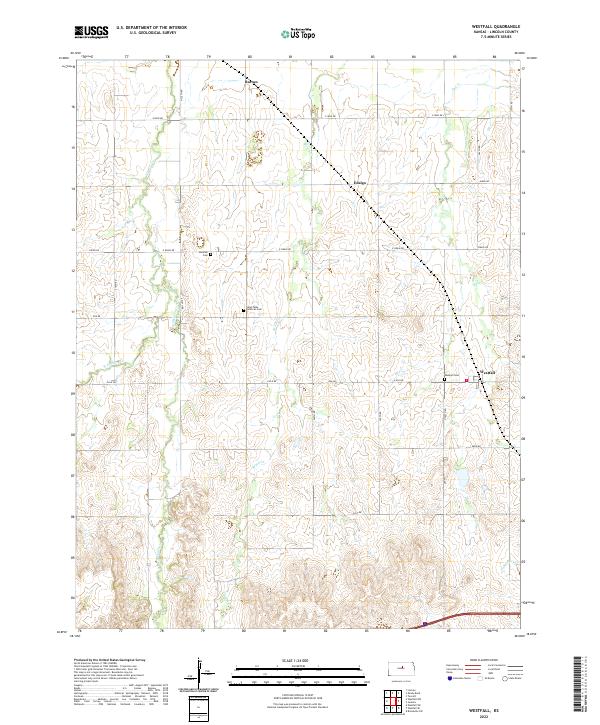
2022 Westfall
Lincoln County, KS
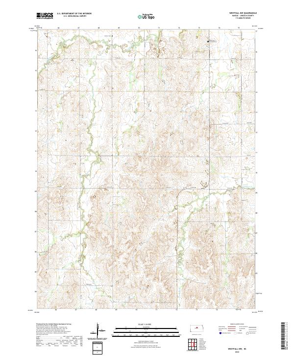
2022 Westfall NW
Lincoln County, KS
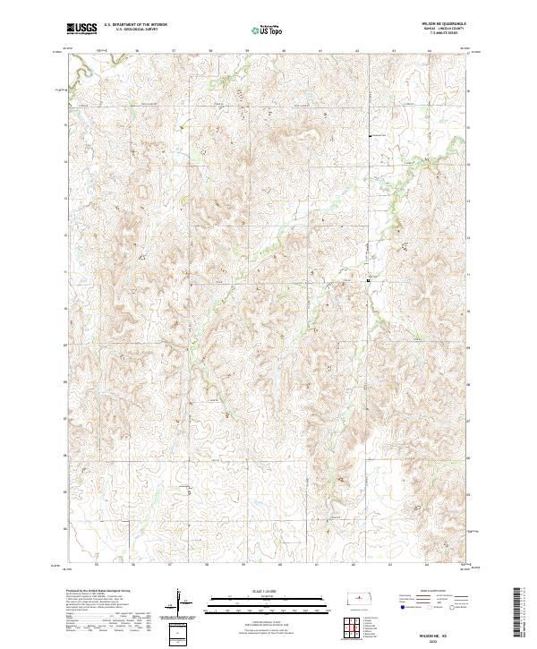
2022 Wilson NE
Lincoln County, KS
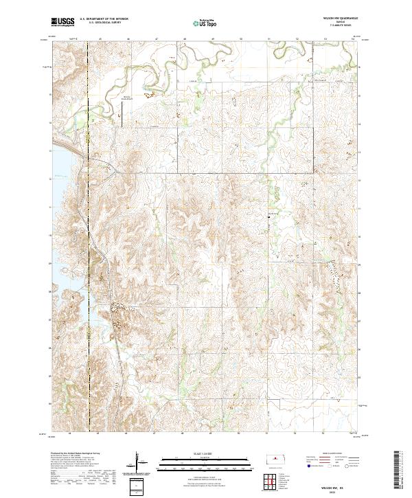
2022 Wilson NW
Lincoln County, KS