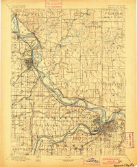
1894 Map of Kansas City
USGS Topo · Published 1900About this map
The Fort Leavenworth Military Reservation and the meandering Missouri River dominate this late 19th-century landscape, capturing a critical crossroads of frontier military history and early westward expansion. The river's original channel and various islands, such as Kickapoo Island and Diamond Island, illustrate a dynamic waterway before modern engineering. This survey reveals a dense network of competing railroads, including the Chicago Rock Island and Pacific Railroad and the Kansas City St. Joseph and Council Bluffs Railroad, which fueled the growth of towns like Platte City and Westan. Smaller rural stops such as Settles Station and Beverly Junction highlight the importance of rail connectivity for local trade. On the Kansas side, settlements like Lansing and Fairmount sit nestled among the ridges of the Quindaro and Prairie townships, offering a detailed look at the region's development during a period of rapid urbanization.
Find a feature on this map
158 named features on this map. Tap any name to fly to it.
Don’t see what you’re looking for? This feature index may not catch every label — zoom into the map to look around manually.
Map Details
Editions of this 1894 Kansas City Map
14 editions found

1894 edition
16.36 x 20.69 inches

1894 edition
15.9 x 20 inches
1900 edition
16.65 x 20.41 inches
1900 edition
16.4 x 19.9 inches
1905 edition
16.12 x 20.28 inches
1905 edition
16 x 19.8 inches
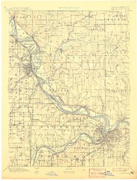
1908 edition
15.45 x 20.34 inches
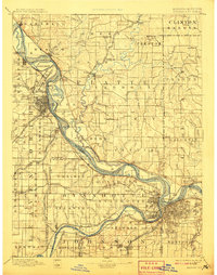
1908 edition
15.6 x 19.8 inches
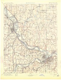
1913 edition
15.59 x 20.28 inches
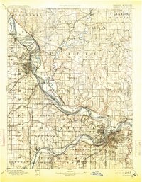
1913 edition
15.49 x 19.9 inches
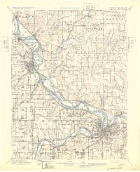
1932 edition
16.54 x 20.27 inches
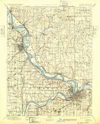
1932 edition
16 x 19.8 inches
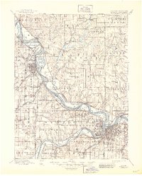
1945 edition
17.09 x 21.27 inches
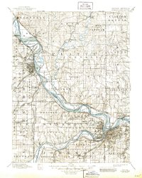
1945 edition
16.5 x 20.63 inches
Other maps of this area

1885 · Atchison
USGS Topo · 1:125,000

1885 · Lawrence
USGS Topo · 1:125,000

1886 · Oskaloosa
USGS Topo · 1:125,000

1887 · Harrisonville
USGS Topo · 1:125,000

1887 · Olathe
USGS Topo · 1:125,000

1888 · Oskaloosa
USGS Topo · 1:125,000

1888 · Atchison
USGS Topo · 1:125,000

1889 · Lawrence
USGS Topo · 1:125,000

1890 · Kansas City
USGS Topo · 1:125,000

1892 · Harrisonville
USGS Topo · 1:125,000