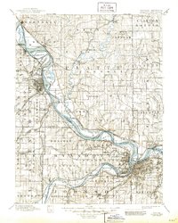
1894 Map of Kansas City
USGS Topo · Published 1945About this map
Fort Leavenworth Military Reservation dominates the western bend of the River, anchoring a landscape defined by the intricate convergence of major Midwestern rail lines. Surveyed in the late 1880s, the map reveals a dense network of transit, including the Chicago Great Western Railroad and the Kansas City St. Joseph and Council Bluffs Railroad, which follow the valley floor toward Platte City and beyond. The river's character is marked by numerous large river islands like Kickapoo Island and Diamond Island, alongside the notable Council Bluffs Road tracing the eastern bluffs.
Find a feature on this map
152 named features on this map. Tap any name to fly to it.
Don’t see what you’re looking for? This feature index may not catch every label — zoom into the map to look around manually.
Map Details
Editions of this 1894 Kansas City Map
14 editions found

1894 edition
16.36 x 20.69 inches

1894 edition
15.9 x 20 inches
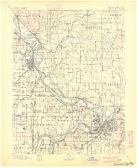
1900 edition
16.65 x 20.41 inches
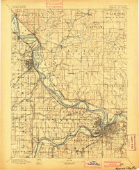
1900 edition
16.4 x 19.9 inches
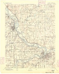
1905 edition
16.12 x 20.28 inches
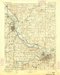
1905 edition
16 x 19.8 inches
1908 edition
15.45 x 20.34 inches
1908 edition
15.6 x 19.8 inches
1913 edition
15.59 x 20.28 inches
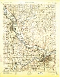
1913 edition
15.49 x 19.9 inches
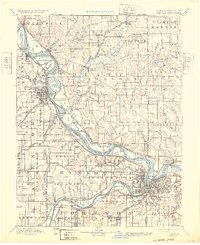
1932 edition
16.54 x 20.27 inches
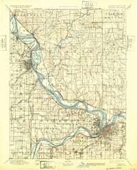
1932 edition
16 x 19.8 inches
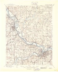
1945 edition
17.09 x 21.27 inches
1945 edition
16.5 x 20.63 inches
Other maps of this area

1885 · Atchison
USGS Topo · 1:125,000

1885 · Lawrence
USGS Topo · 1:125,000

1886 · Oskaloosa
USGS Topo · 1:125,000

1887 · Harrisonville
USGS Topo · 1:125,000

1887 · Olathe
USGS Topo · 1:125,000

1888 · Oskaloosa
USGS Topo · 1:125,000

1888 · Atchison
USGS Topo · 1:125,000

1889 · Lawrence
USGS Topo · 1:125,000

1890 · Kansas City
USGS Topo · 1:125,000

1892 · Harrisonville
USGS Topo · 1:125,000