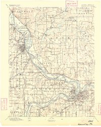
1894 Map of Kansas City
USGS Topo · Published 1905About this map
The Missouri River serves as the central artery for this late 19th-century landscape, weaving through a dense network of early railroad lines and agricultural settlements. The Missouri and Kansas borderlands are defined here by significant transportation hubs and strategic outposts, most notably the Fort Leavenworth Military Reservation and the burgeoning industrial footprint of Kansas City. Numerous small communities and rural waypoints such as White Church, Settles Station, and Waldron illustrate the settlement patterns of the era, where proximity to water and rail was paramount.
Find a feature on this map
156 named features on this map. Tap any name to fly to it.
Don’t see what you’re looking for? This feature index may not catch every label — zoom into the map to look around manually.
Map Details
Editions of this 1894 Kansas City Map
14 editions found

1894 edition
16.36 x 20.69 inches

1894 edition
15.9 x 20 inches
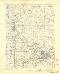
1900 edition
16.65 x 20.41 inches
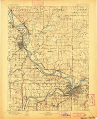
1900 edition
16.4 x 19.9 inches
1905 edition
16.12 x 20.28 inches
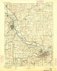
1905 edition
16 x 19.8 inches
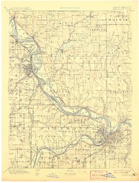
1908 edition
15.45 x 20.34 inches
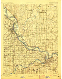
1908 edition
15.6 x 19.8 inches
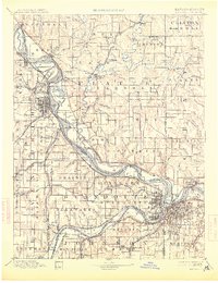
1913 edition
15.59 x 20.28 inches
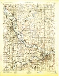
1913 edition
15.49 x 19.9 inches
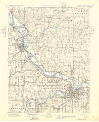
1932 edition
16.54 x 20.27 inches
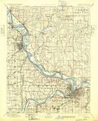
1932 edition
16 x 19.8 inches
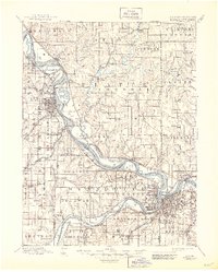
1945 edition
17.09 x 21.27 inches
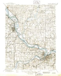
1945 edition
16.5 x 20.63 inches
Other maps of this area

1885 · Atchison
USGS Topo · 1:125,000

1885 · Lawrence
USGS Topo · 1:125,000

1886 · Oskaloosa
USGS Topo · 1:125,000

1887 · Harrisonville
USGS Topo · 1:125,000

1887 · Olathe
USGS Topo · 1:125,000

1888 · Oskaloosa
USGS Topo · 1:125,000

1888 · Atchison
USGS Topo · 1:125,000

1889 · Lawrence
USGS Topo · 1:125,000

1890 · Kansas City
USGS Topo · 1:125,000

1892 · Harrisonville
USGS Topo · 1:125,000