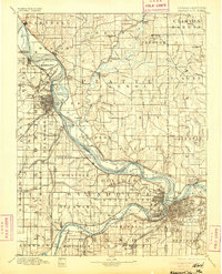
1894 Map of Kansas City
USGS Topo · Published 1905About this map
The Missouri River defines the geography of this late 19th-century landscape, snaking between Kansas and Missouri and creating a complex network of islands and floodplains. On the Kansas side, the Fort Leavenworth Military Reservation and the established city of Leavenworth anchor the region, while the Missouri side is dominated by river towns like Weston and Parkville. The map illustrates a highly developed railroad economy, showing numerous competing lines such as the Missouri Pacific Railroad and the Chicago Great Western Railroad that connect riverside settlements to the hinterlands.
Find a feature on this map
160 named features on this map. Tap any name to fly to it.
Don’t see what you’re looking for? This feature index may not catch every label — zoom into the map to look around manually.
Map Details
Editions of this 1894 Kansas City Map
14 editions found

1894 edition
16.36 x 20.69 inches

1894 edition
15.9 x 20 inches
1900 edition
16.65 x 20.41 inches
1900 edition
16.4 x 19.9 inches
1905 edition
16.12 x 20.28 inches
1905 edition
16 x 19.8 inches
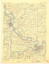
1908 edition
15.45 x 20.34 inches
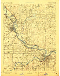
1908 edition
15.6 x 19.8 inches
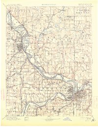
1913 edition
15.59 x 20.28 inches
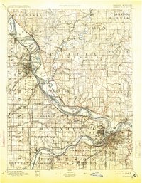
1913 edition
15.49 x 19.9 inches
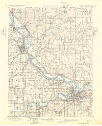
1932 edition
16.54 x 20.27 inches
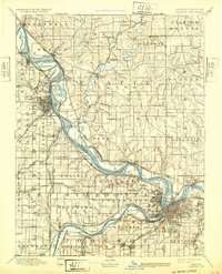
1932 edition
16 x 19.8 inches
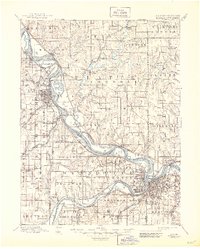
1945 edition
17.09 x 21.27 inches
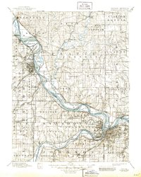
1945 edition
16.5 x 20.63 inches
Other maps of this area

1885 · Atchison
USGS Topo · 1:125,000

1885 · Lawrence
USGS Topo · 1:125,000

1886 · Oskaloosa
USGS Topo · 1:125,000

1887 · Harrisonville
USGS Topo · 1:125,000

1887 · Olathe
USGS Topo · 1:125,000

1888 · Oskaloosa
USGS Topo · 1:125,000

1888 · Atchison
USGS Topo · 1:125,000

1889 · Lawrence
USGS Topo · 1:125,000

1890 · Kansas City
USGS Topo · 1:125,000

1892 · Harrisonville
USGS Topo · 1:125,000