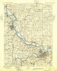
1894 Map of Kansas City
USGS Topo · Published 1932About this map
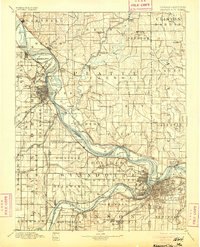
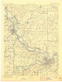
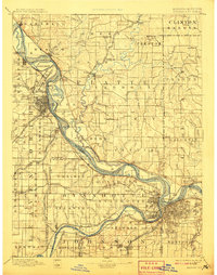
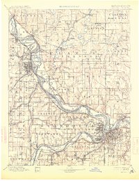
Fort Leavenworth Military Reservation anchor the western bank of the Missouri River in this detailed look at the borderlands during the late nineteenth century. The river dominates the landscape, featuring prominent islands like Kickapoo Island and Leavenworth Island, while the Old Channel of Platte River indicates the shifting hydrology near Parkville. A complex web of transit lines facilitates movement between Platte City and the surrounding region, including the Kansas City St. Joseph and Council Bluffs Railroad and the route from Leavenworth to Meriden. The rural character is punctuated by small stops and junctions such as Settles Station, Beverly Junction, and Iatan. Small watercourses like Thornton Mill Creek and Todd Creek carve through the townships, serving as vital landmarks for local genealogists tracing family homesteads in townships like Waldron and Pettis.
Find a feature on this map
157 named features on this map. Tap any name to fly to it.
Don’t see what you’re looking for? This feature index may not catch every label — zoom into the map to look around manually.
Map Details
Editions of this 1894 Kansas City Map
14 editions found

1894 edition
16.36 x 20.69 inches

1894 edition
15.9 x 20 inches
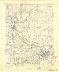
1900 edition
16.65 x 20.41 inches
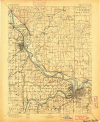
1900 edition
16.4 x 19.9 inches
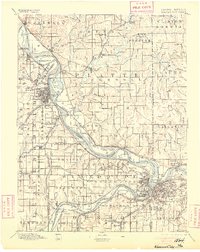
1905 edition
16.12 x 20.28 inches
1905 edition
16 x 19.8 inches
1908 edition
15.45 x 20.34 inches
1908 edition
15.6 x 19.8 inches
1913 edition
15.59 x 20.28 inches
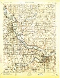
1913 edition
15.49 x 19.9 inches
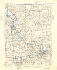
1932 edition
16.54 x 20.27 inches
1932 edition
16 x 19.8 inches
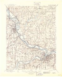
1945 edition
17.09 x 21.27 inches
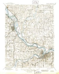
1945 edition
16.5 x 20.63 inches
Other maps of this area

1885 · Atchison
USGS Topo · 1:125,000

1885 · Lawrence
USGS Topo · 1:125,000

1886 · Oskaloosa
USGS Topo · 1:125,000

1887 · Harrisonville
USGS Topo · 1:125,000

1887 · Olathe
USGS Topo · 1:125,000

1888 · Oskaloosa
USGS Topo · 1:125,000

1888 · Atchison
USGS Topo · 1:125,000

1889 · Lawrence
USGS Topo · 1:125,000

1890 · Kansas City
USGS Topo · 1:125,000

1892 · Harrisonville
USGS Topo · 1:125,000