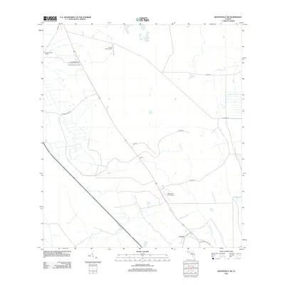
2012 Map of Kenansville SW
USGS Topo · Published 2012About this map
The lowlands of southeastern Osceola County are defined by a network of ranching roads and aviation strips in this 2012 survey. Centered on the crossroads of Lokosee, the landscape is partitioned by long-distance thoroughfares like S Kenansville Rd and Hayman Ranch Rd. Private aviation is a distinctive feature of the local economy and land use, evidenced by the presence of Flying S Ranch Airport, Escape Ranch Airport, and Mills Ranch South Airport scattered across the quadrangle. Drainage through this flat terrain follows subtle watercourses including Wolf Cr, Sixmile Cr, and Blue Cypress Cr. The map captures a moment of modern rural development where large-scale ranching interests and established settlements like Apoxee maintain a quiet footprint in central Florida.
Find a feature on this map
16 named features on this map. Tap any name to fly to it.
Don’t see what you’re looking for? This feature index may not catch every label — zoom into the map to look around manually.
Map Details
Editions of this 2012 Kenansville SW Map
This is the sole edition of this map. No revisions or reprints were ever made.
Other maps of this area

1953 · Fort Kissimmee NE
USGS Topo · 1:24,000

1953 · Lake Marian SE
USGS Topo · 1:24,000

1953 · Fort Drum NW
USGS Topo · 1:24,000

1953 · Kenansville SW
USGS Topo · 1:24,000

1953 · Kenansville
USGS Topo · 1:24,000

1953 · Fort Drum NE
USGS Topo · 1:24,000

1953 · Kenansville NE
USGS Topo · 1:24,000

1953 · Kenansville SE
USGS Topo · 1:24,000

1953 · Lake Marian NE
USGS Topo · 1:24,000

1956 · Fort Pierce
USGS Topo · 1:250,000