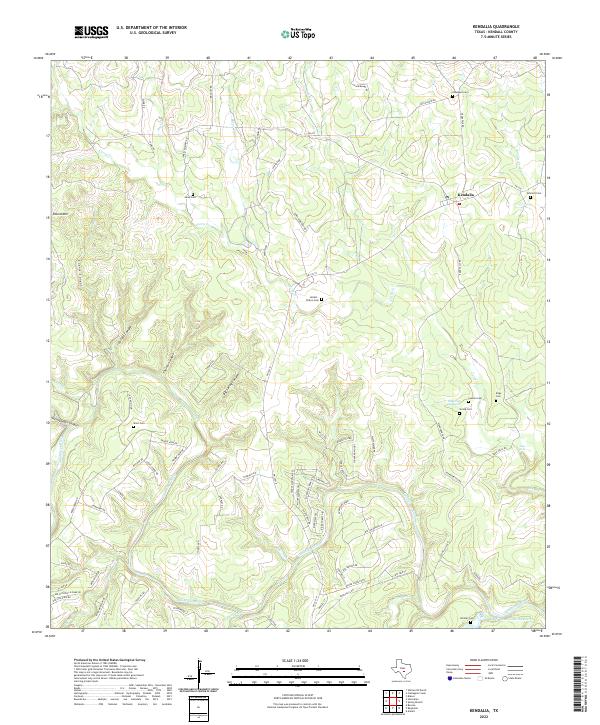
2022 Map of Kendalia
USGS Topo · Published 2022This historical map portrays the area of Kendalia in 2022, primarily covering Kendall County. Featuring a scale of 1:24000, this map provides a highly detailed snapshot of the terrain, roads, buildings, counties, and historical landmarks in the Kendalia region at the time. Published in 2022, it is the sole known edition of this map.
Map Details
Editions of this 2022 Kendalia Map
This is the sole edition of this map. No revisions or reprints were ever made.
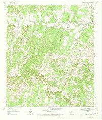
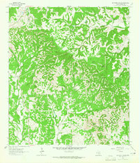
Historical Maps of Oberly Crossing Through Time
14 maps found
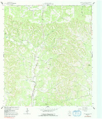
1963 Crabapple Creek
Kendall County, TX
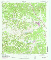
1963 Whitworth Ranch
Kendall County, TX
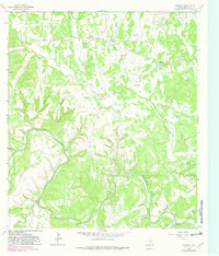
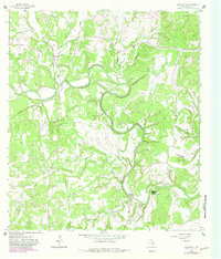
1964 Kendalia
Kendall County, TX
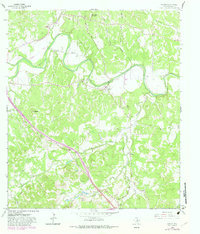
1964 Rafter Hollow
Kendall County, TX
1964 Ranger Creek
Kendall County, TX
1964 Sisterdale
Kendall County, TX
1964 Waring
Kendall County, TX
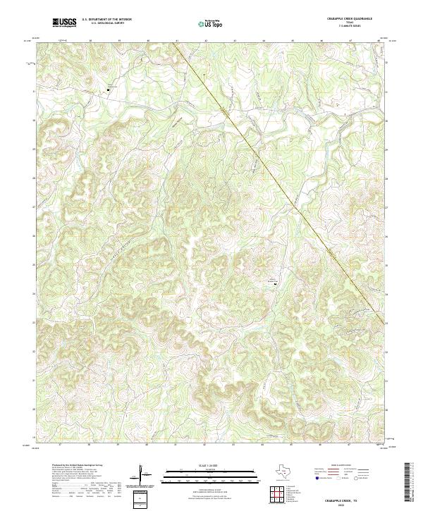
2022 Crabapple Creek
Kendall County, TX
2022 Kendalia
Kendall County, TX
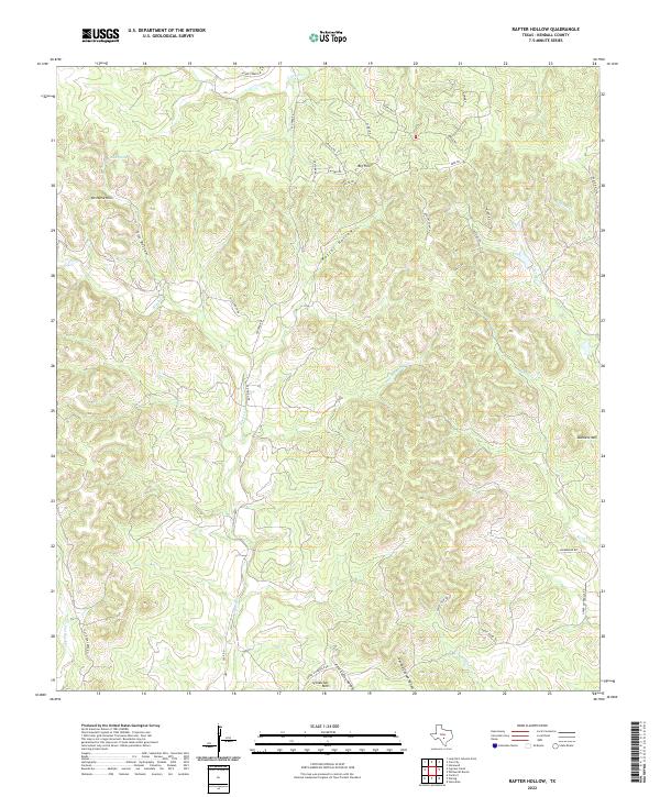
2022 Rafter Hollow
Kendall County, TX
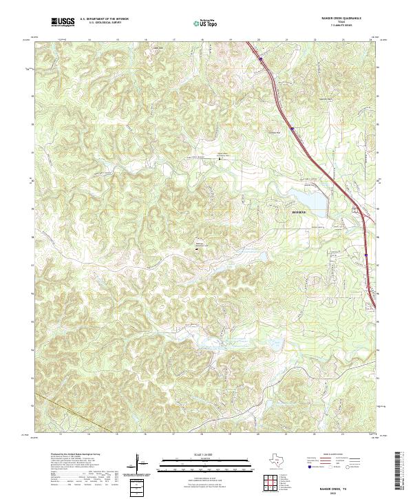
2022 Ranger Creek
Kendall County, TX
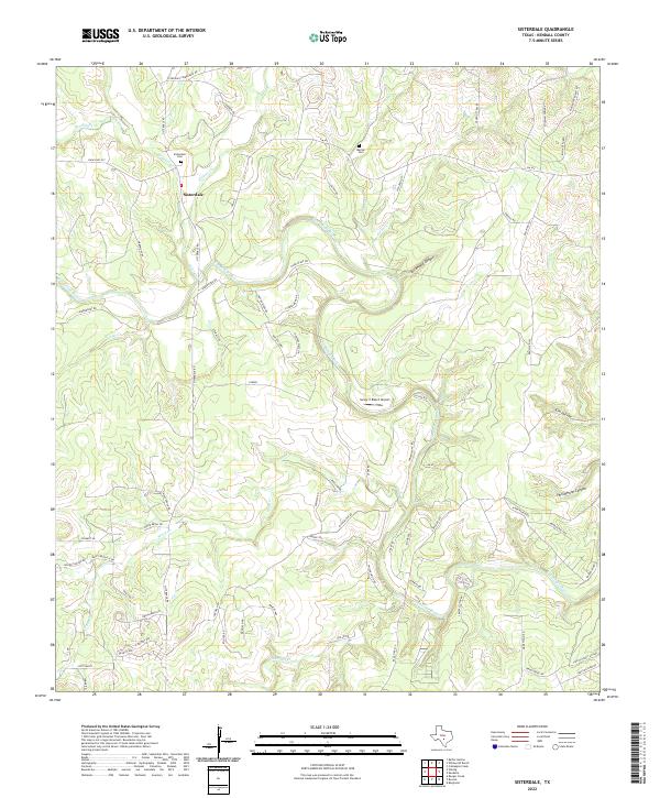
2022 Sisterdale
Kendall County, TX
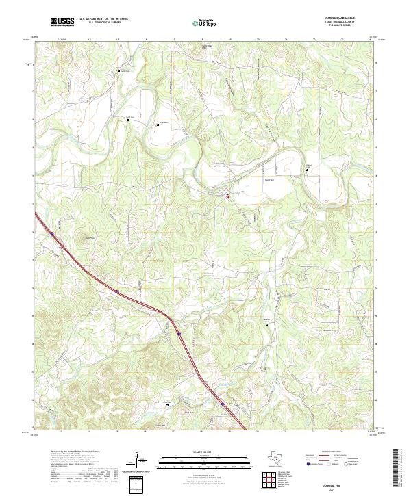
2022 Waring
Kendall County, TX
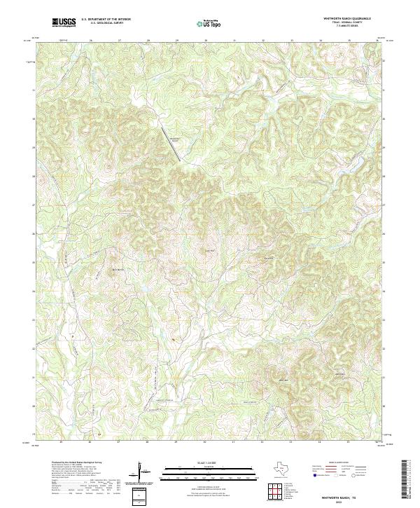
2022 Whitworth Ranch
Kendall County, TX