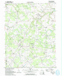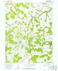
1955 Map of Kenton
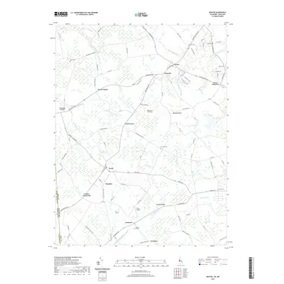
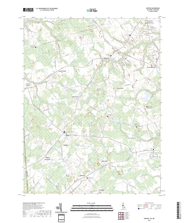
USGS Topo · Published 1989About this map
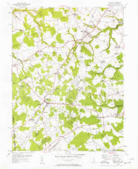
Agricultural life in Kent County, Delaware, and Queen Annes County, Maryland, is defined by an intricate network of named drainage ditches and branches that cross the state line. Centered on the hubs of Kenton and Hartly, the landscape is partitioned into District No 3 and District No 4, reflecting the administrative organization of the mid-20th century. The Pennsylvania railroad line cuts diagonally through the terrain, connecting small rural centers like Slaughter and Downes Chapel. Numerous country schools and churches, including Mt Friendship Sch and Forest Grove Ch, serve as anchors for the surrounding farmsteads. The presence of Lash Airfield and several crossroads settlements like Wrights Crossroads and Pearsons Corner illustrate the transition between traditional rail-and-water commerce, such as that found at Masseys Millpond, and modern automobile transit across the Delmarva Peninsula.
Find a feature on this map
52 named features on this map. Tap any name to fly to it.
Don’t see what you’re looking for? This feature index may not catch every label — zoom into the map to look around manually.
Map Details
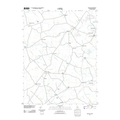
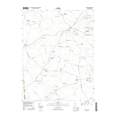
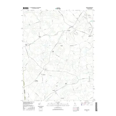
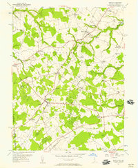
Editions of this 1955 Kenton Map
Historical Maps of Kenton Through Time
7 maps found