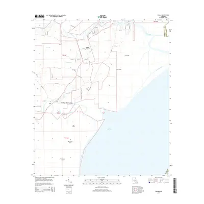
2015 Map of Killian
USGS Topo · Published 2015About this map
Killian and Clio sit at the intersection of river life and the marshy edges of Lake Maurepas. This 2015 record shows a landscape defined by the winding paths of the Tickfaw River and Amite River, where historical landings like Carthage Bluff Landing underscore the long-standing importance of water navigation in Livingston Parish. The transition from mainland to marsh is marked by a series of named landmasses, including Pine Island, Big Liveoak Island, and Little Liveoak Island, many of which remain isolated by the swampy terrain.
Find a feature on this map
58 named features on this map. Tap any name to fly to it.
Don’t see what you’re looking for? This feature index may not catch every label — zoom into the map to look around manually.
Map Details
Editions of this 2015 Killian Map
This is the sole edition of this map. No revisions or reprints were ever made.
Other maps of this area

1892 · Mount Airy
USGS Topo · 1:62,500

1892 · Bonnet Carre
USGS Topo · 1:62,500

1934 · Springfield
USGS Topo · 1:62,500

1935 · Ponchatoula
USGS Topo · 1:62,500

1936 · Ruddock
USGS Topo · 1:31,680

1936 · Bonnet Carre
USGS Topo · 1:62,500

1939 · Ponchatoula
USGS Topo · 1:62,500

1939 · Springfield
USGS Topo · 1:62,500

1946 · North of Garyville
USGS Topo · 1:31,680

1946 · Petite Amite River
USGS Topo · 1:31,680