
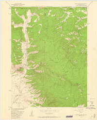
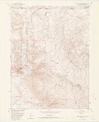
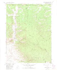
1950 Map of Kings Canyon
USGS Topo · Published 1959About this map
Mining operations and water engineering define this high-altitude landscape along the border of Colorado and Wyoming. The Village Belle Mine and the Kings Canyon Mine reflect an era of mineral extraction that shaped local settlement patterns, including small enclaves like Camp Nelson and Village. To support the area's agricultural or industrial needs, a complex network of irrigation infrastructure was established, notably the Hardwork Ditch, Allard Ditch, and Government Ditch which trace the contours of Kings Canyon Creek.
Find a feature on this map
38 named features on this map. Tap any name to fly to it.
Don’t see what you’re looking for? This feature index may not catch every label — zoom into the map to look around manually.
Map Details
Editions of this 1950 Kings Canyon Map
4 editions found
Other maps of this area

1906 · Medicine Bow
USGS Topo · 1:125,000

1908 · Medicine Bow
USGS Topo · 1:125,000

1950 · Northgate
USGS Topo · 1:24,000

1952 · Northgate
USGS Topo · 1:24,000

1952 · Kings Canyon
USGS Topo · 1:24,000

1954 · Rawlins
USGS Topo · 1:250,000

1954 · Craig
USGS Topo · 1:250,000

1955 · Old Roach
USGS Topo · 1:24,000

1955 · Eagle Hill
USGS Topo · 1:24,000

1955 · Shipman Mountain
USGS Topo · 1:24,000