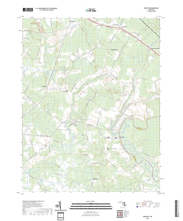
2023 Map of Kingston
USGS Topo · Published 2023About this map
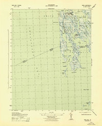
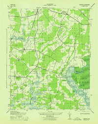
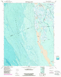
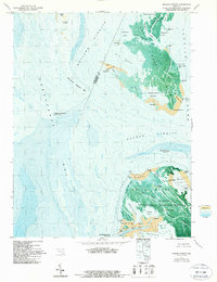
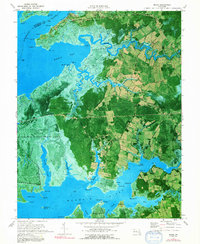
The Big Annemessex River and Pocomoke River define the watery landscape of Somerset County in this modern survey. The map details a low-lying region characterized by extensive wetlands and the Cypress Swamp, where the eastern boundary meets Worcester County. For genealogists, the map is particularly useful for its density of burial grounds near the settlement of Rehobeth, including the Rehobeth Baptist Cem, Rehobeth Presbyterian Cem, and Rehobeth Methodist Cem.
Find a feature on this map
76 named features on this map. Tap any name to fly to it.
Don’t see what you’re looking for? This feature index may not catch every label — zoom into the map to look around manually.
Map Details
Editions of this 2023 Kingston Map
This is the sole edition of this map. No revisions or reprints were ever made.
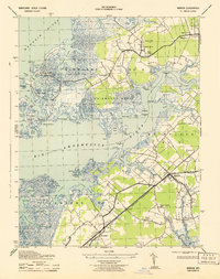
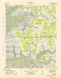
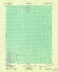
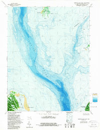
Historical Maps of Hudson Corner Through Time
25 maps found
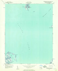
1942 Great Fox Island
Somerset County, MD
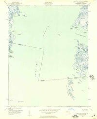
1942 Kedges Straits
Somerset County, MD

1942 Kingston
Somerset County, MD
1942 Marion
Somerset County, MD

1942 Monie
Somerset County, MD
1942 Terrapin Sand Point
Somerset County, MD
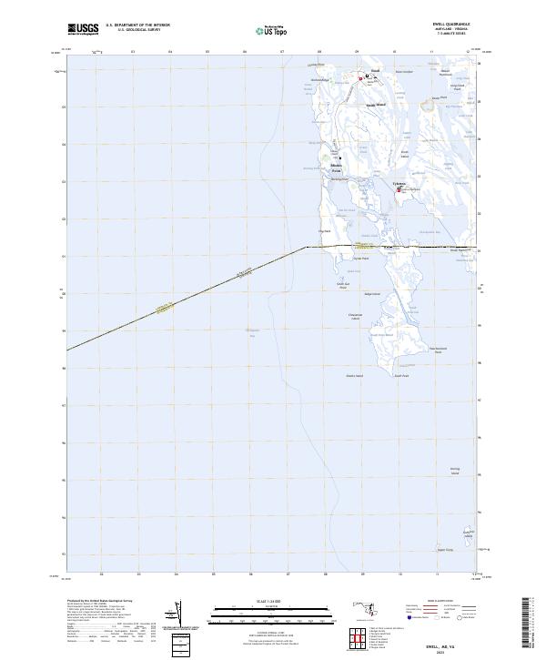
1943 Ewell
Somerset County, MD
1943 Great Fox Island
Somerset County, MD
1943 Kedges Straits
Somerset County, MD
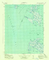
1943 Kingston
Somerset County, MD
1943 Marion
Somerset County, MD
1943 Monie
Somerset County, MD
1943 Terrapin Sand Point
Somerset County, MD
1968 Ewell
Somerset County, MD
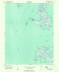
1972 Kedges Straits
Somerset County, MD
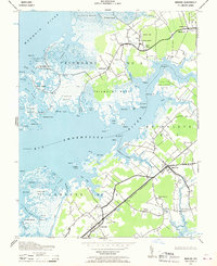
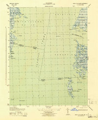
1972 Kingston
Somerset County, MD
1972 Marion
Somerset County, MD
1972 Monie
Somerset County, MD
1973 Terrapin Sand Point
Somerset County, MD
2023 Ewell
Somerset County, MD
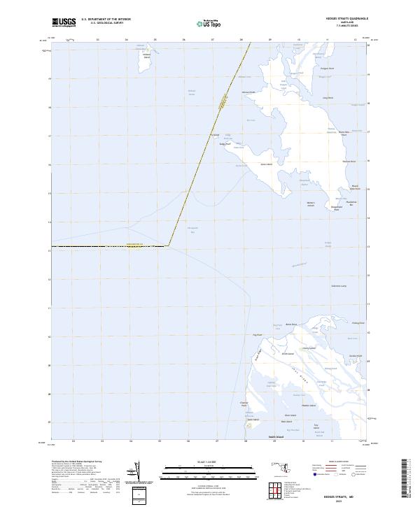
2023 Kedges Straits
Somerset County, MD
2023 Kingston
Somerset County, MD
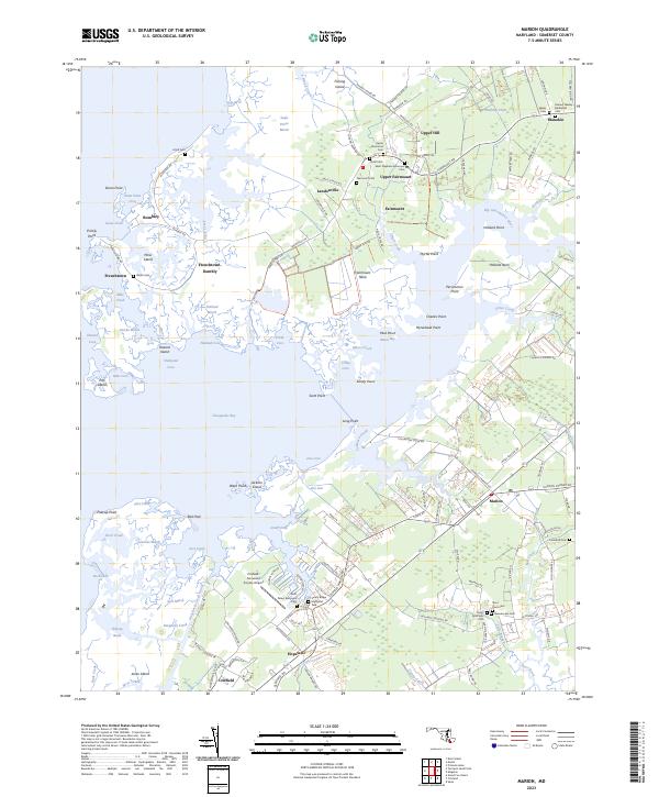
2023 Marion
Somerset County, MD
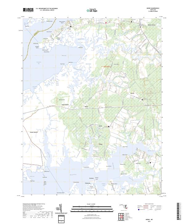
2023 Monie
Somerset County, MD
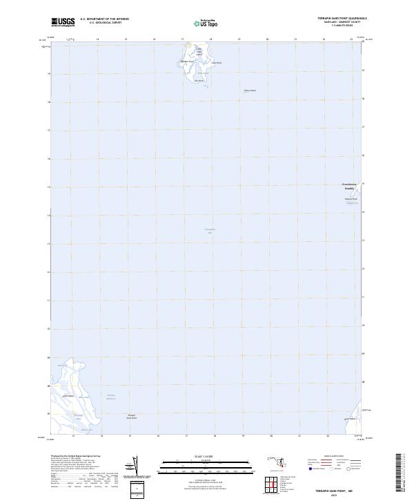
2023 Terrapin Sand Point
Somerset County, MD