
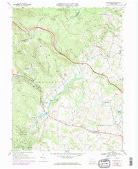
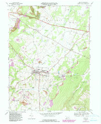
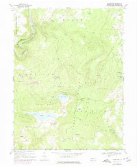
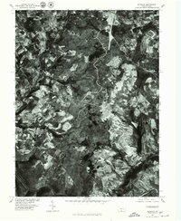
2023 Map of Kingwood
USGS Topo · Published 2023About this map
The border of Fayette and Somerset counties runs through the high ridges of Laurel Hill, where contemporary conservation efforts meet centuries of family lineage. This map of the Kingwood vicinity provides an exceptional record for genealogists, documenting numerous small burial grounds and homestead landmarks including the John Younkin Family Graveyard, Schrock Family Cem, and the Frederick G Younkin Cem.
Find a feature on this map
98 named features on this map. Tap any name to fly to it.
Don’t see what you’re looking for? This feature index may not catch every label — zoom into the map to look around manually.
Map Details
Editions of this 2023 Kingwood Map
This is the sole edition of this map. No revisions or reprints were ever made.
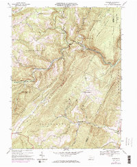
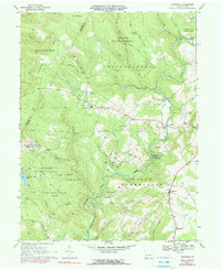
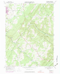
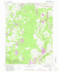
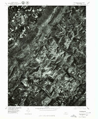
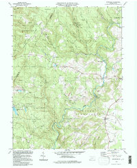
Historical Maps of Metzler Through Time
25 maps found
1923 Berlin
Somerset County, PA
1929 Berlin
Somerset County, PA
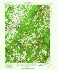
1944 Berlin
Somerset County, PA
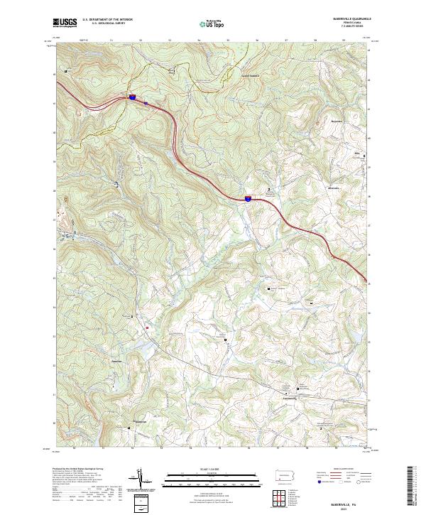
1967 Bakersville
Somerset County, PA
1967 Berlin
Somerset County, PA
1967 Fairhope
Somerset County, PA
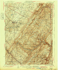
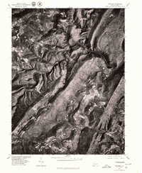
1967 Kingwood
Somerset County, PA
1967 Wittenburg
Somerset County, PA
1968 Markleton
Somerset County, PA
1968 Murdock
Somerset County, PA
1977 Bakersville
Somerset County, PA
1977 Berlin
Somerset County, PA
1977 Fairhope
Somerset County, PA
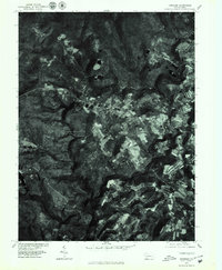
1977 Kingwood
Somerset County, PA
1977 Markleton
Somerset County, PA
1977 Murdock
Somerset County, PA
1977 Wittenburg
Somerset County, PA
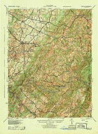
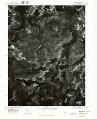
1994 Kingwood
Somerset County, PA
2023 Bakersville
Somerset County, PA
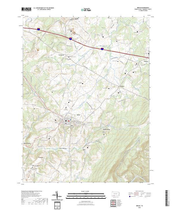
2023 Berlin
Somerset County, PA
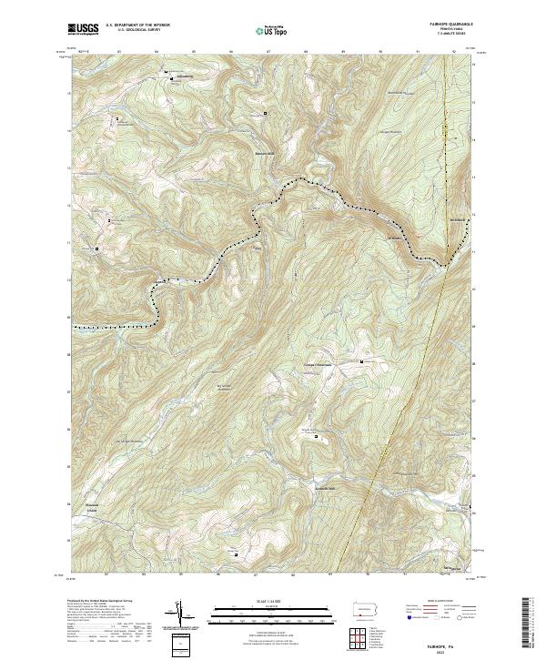
2023 Fairhope
Somerset County, PA
2023 Kingwood
Somerset County, PA
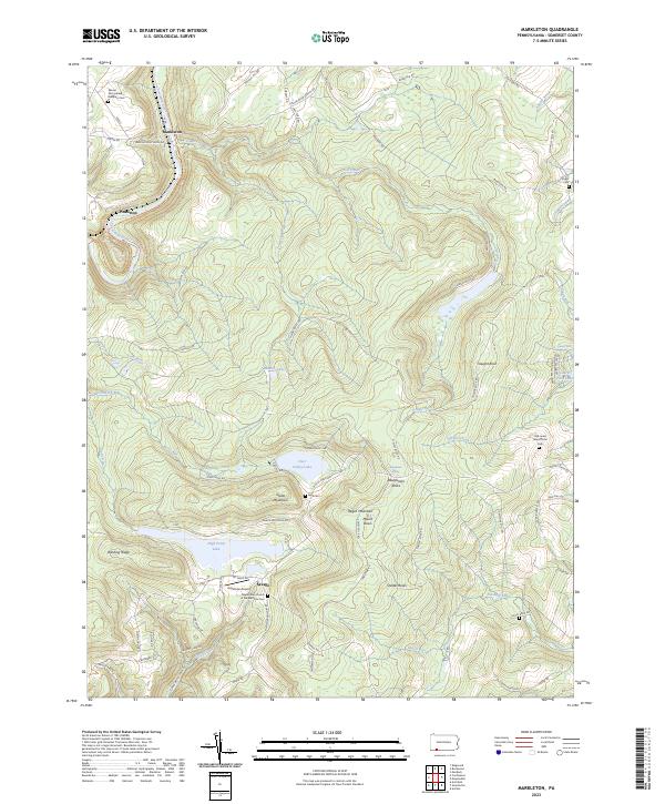
2023 Markleton
Somerset County, PA
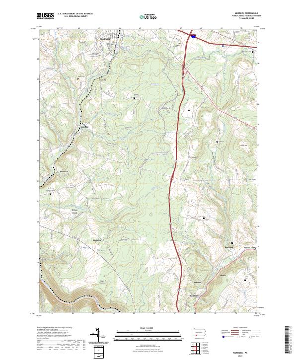
2023 Murdock
Somerset County, PA
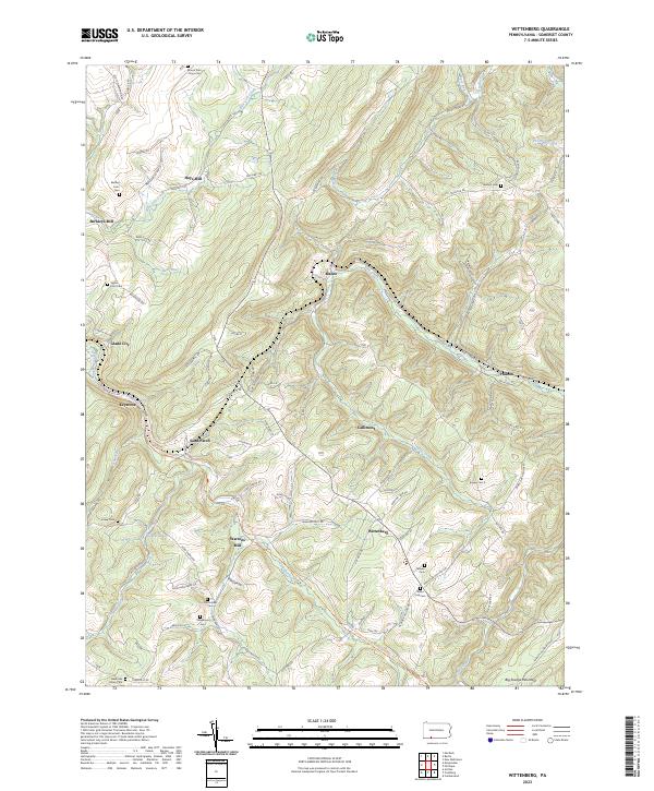
2023 Wittenberg
Somerset County, PA
Featured Locations
- Springfield Township, PA
- Lower Turkeyfoot Township, PA
- Middlecreek Township, PA
- Upper Turkeyfoot Township, PA
- Barronvale, Middlecreek Township