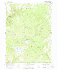
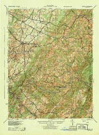
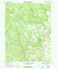
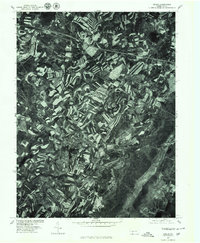
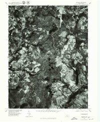
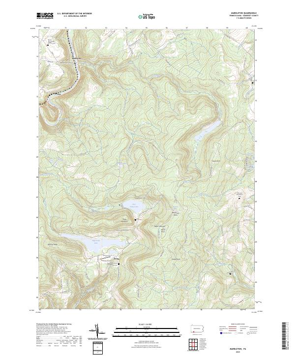
1968 Map of Markleton
USGS Topo · Published 1975About this map
Negro Mountain and Glade Mountain dominate this part of Somerset County, where the Casselman River carves a path past the settlement of Markleton. The landscape reflects a legacy of industrial and recreational land use, featuring both the Forbes State Forest and active strip mines along Black Summit and the Shafer Run drainage. Transportation history is well-represented by the parallel tracks of the Baltimore and Ohio and Western Maryland railroads, including the notable Pinkerton Tunnel near Pinkerton. Local life centers on the communities of Savage and Markleton, supported by several rural congregations such as Mt Zion Ch and Maple Glen Ch. Large water bodies like High Point Lake and Deer Valley Lake highlight the area's transition into a mountain retreat destination during the late 1960s, anchored by Deer Valley Camp and Mt Davis Recreational Camp.
Find a feature on this map
51 named features on this map. Tap any name to fly to it.
Don’t see what you’re looking for? This feature index may not catch every label — zoom into the map to look around manually.
Map Details
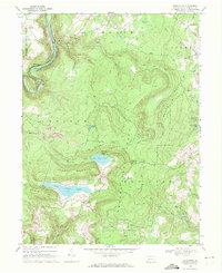
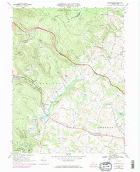
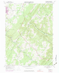
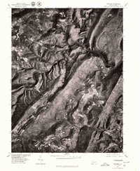
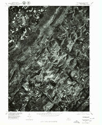
Editions of this 1968 Markleton Map
2 editions found
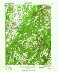
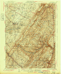
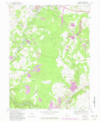
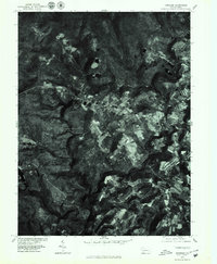
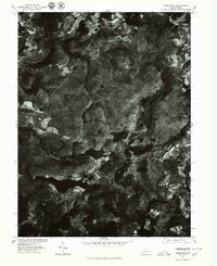
Historical Maps of Black Township Through Time
25 maps found
1923 Berlin
Somerset County, PA
1929 Berlin
Somerset County, PA
1944 Berlin
Somerset County, PA
1967 Bakersville
Somerset County, PA
1967 Berlin
Somerset County, PA
1967 Fairhope
Somerset County, PA
1967 Kingwood
Somerset County, PA
1967 Wittenburg
Somerset County, PA
1968 Markleton
Somerset County, PA
1968 Murdock
Somerset County, PA
1977 Bakersville
Somerset County, PA
1977 Berlin
Somerset County, PA
1977 Fairhope
Somerset County, PA
1977 Kingwood
Somerset County, PA
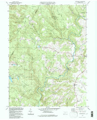
1977 Markleton
Somerset County, PA
1977 Murdock
Somerset County, PA
1977 Wittenburg
Somerset County, PA
1994 Kingwood
Somerset County, PA
2023 Bakersville
Somerset County, PA
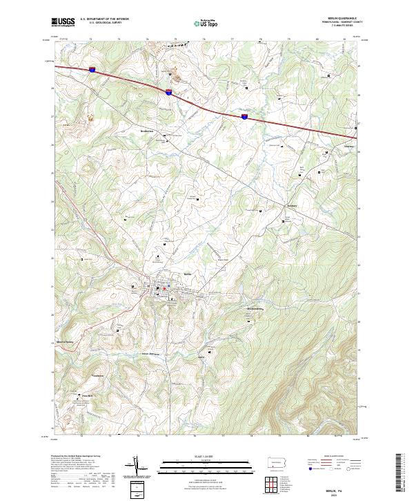
2023 Berlin
Somerset County, PA
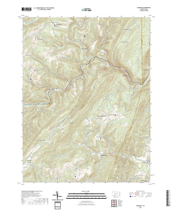
2023 Fairhope
Somerset County, PA

2023 Kingwood
Somerset County, PA
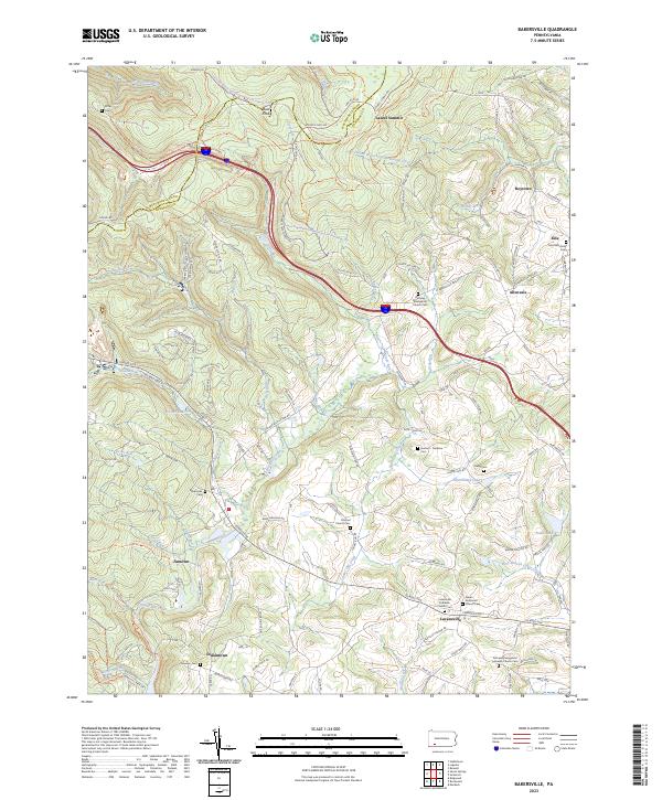
2023 Markleton
Somerset County, PA
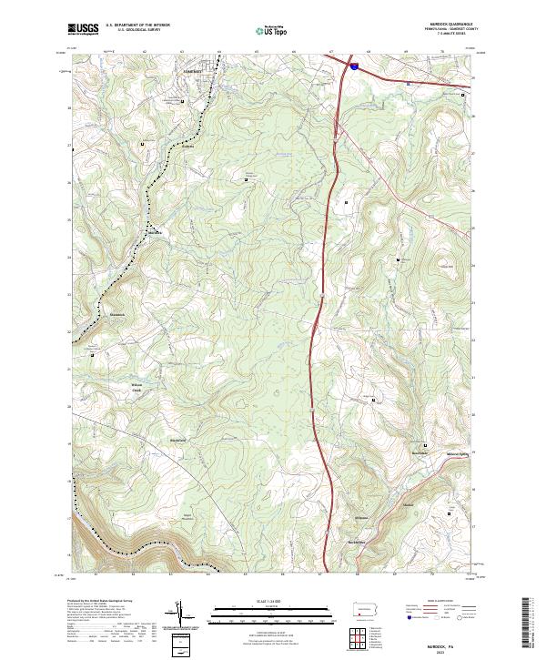
2023 Murdock
Somerset County, PA
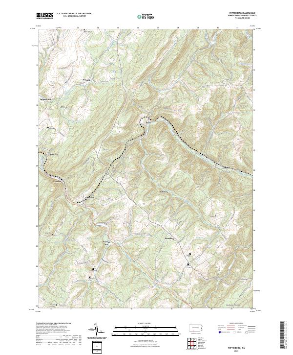
2023 Wittenberg
Somerset County, PA
Featured Locations
- Black Township, PA
- Addison Township, PA
- Elk Lick Township, PA
- Upper Turkeyfoot Township, PA
- Markleton, Black Township