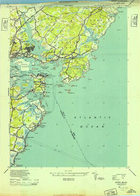
1944 Map of Kittery
USGS Topo · Published 1949About this map
The Piscataqua River serves as the dominant boundary on this 1944 military survey, separating the coastal communities of Maine and New Hampshire during a period of heavy coastal fortification. The map reveals the intricate shoreline of Portsmouth Harbor, where Gerrish Island and Seavey Island define the maritime approaches. Strategic military installations are prominent across the landscape, including Fort Constitution, Camp Langdon, and the Pulpit Rock Military Reservation. Inland, the survey captures the residential character of Kittery and Admiralty Village, while identifying smaller rural junctions like Bedell Crossing and Seabury Switch. Along the coast, the transit from Wallis Sands to the rocky outcroppings of Ragged Neck Pt highlights the varied terrain of Rye and the residential clusters at Fairhill Manor and Sterling Corner.
Find a feature on this map
111 named features on this map. Tap any name to fly to it.
Don’t see what you’re looking for? This feature index may not catch every label — zoom into the map to look around manually.
Map Details
Editions of this 1944 Kittery Map
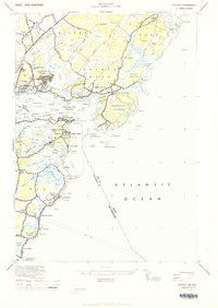
2 editions found
Other maps of this area

1888 · Newburyport
USGS Topo · 1:62,500

1890 · Newburyport
USGS Topo · 1:62,500

1893 · Dover
USGS Topo · 1:62,500

1893 · York
USGS Topo · 1:62,500

1894 · Newburyport
USGS Topo · 1:62,500

1916 · Dover
USGS Topo · 1:62,500

1918 · Dover
USGS Topo · 1:62,500

1920 · York
USGS Topo · 1:62,500

1932 · Newburyport
USGS Topo · 1:48,000

1934 · Exeter
USGS Topo · 1:62,500