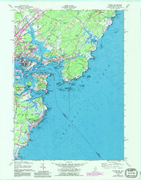
1956 Map of Kittery
USGS Topo · Published 1989About this map
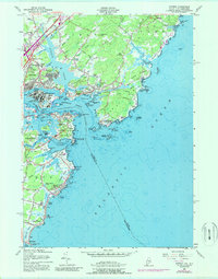
Portsmouth Naval Base and the surrounding coastal fortifications define this maritime landscape at the intersection of Maine and New Hampshire. The map illustrates a dense network of military and civilian history, from the historic batteries of Fort McClary State Park and Fort Constitution Military Res to the residential growth seen in Admiralty Village. The Piscataqua River serves as the central artery for the region, separating the clustered settlements of Kittery and New Castle while supporting vital naval infrastructure on Seavey Island.
Find a feature on this map
88 named features on this map. Tap any name to fly to it.
Don’t see what you’re looking for? This feature index may not catch every label — zoom into the map to look around manually.
Map Details
Editions of this 1956 Kittery Map
5 editions found
Other maps of this area

1888 · Newburyport
USGS Topo · 1:62,500

1890 · Newburyport
USGS Topo · 1:62,500

1893 · Dover
USGS Topo · 1:62,500

1893 · York
USGS Topo · 1:62,500

1894 · Newburyport
USGS Topo · 1:62,500

1916 · Dover
USGS Topo · 1:62,500

1918 · Dover
USGS Topo · 1:62,500

1920 · York
USGS Topo · 1:62,500

1932 · Newburyport
USGS Topo · 1:48,000

1934 · Exeter
USGS Topo · 1:62,500