
1949 Map of Knappton
USGS Topo · Published 1954About this map
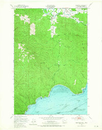
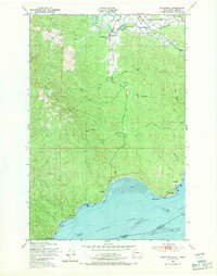
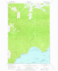
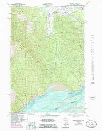
Knappton and the northern shore of the Columbia River dominate this mid-century coastal survey, capturing the transition from timber-driven economies to a more modern infrastructure. The landscape is defined by the steep topography of Bear River Ridge and Naselle Ridge, where an Old Railroad Grade winds through the hills, hinting at earlier logging operations. Along the river, maritime activity is evident at the Quarantine Sta near Knappton, while Grays Point Light marks the treacherous waters of the estuary. To the north, the settlement of Naselle serves as a local hub, featuring the Naselle-Grays River High Sch and the Peaceful Hill Cem. The presence of the Old Ferry Road near Megler underscores the era's reliance on waterborne transport before more extensive highway systems reached this corner of the Pacific Northwest.
Find a feature on this map
39 named features on this map. Tap any name to fly to it.
Don’t see what you’re looking for? This feature index may not catch every label — zoom into the map to look around manually.
Map Details
Editions of this 1949 Knappton Map
5 editions found
Other maps of this area

1919 · Astoria
USGS Topo · 1:62,500

1938 · Fort Columbia
USGS Topo · 1:62,500

1939 · Astoria
USGS Topo · 1:62,500

1940 · Svensen
USGS Topo · 1:62,500

1940 · Brookfield
USGS Topo · 1:62,500

1943 · Fort Columbia
USGS Topo · 1:62,500

1949 · Astoria
USGS Topo · 1:24,000

1949 · Chinook
USGS Topo · 1:24,000

1949 · Upper Naselle River
USGS Topo · 1:24,000

1949 · Oman Ranch
USGS Topo · 1:24,000