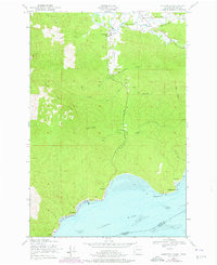
1949 Map of Knappton
USGS Topo · Published 1976About this map
The Columbia River shoreline and the timbered heights of Naselle Ridge define this coastal landscape as it was documented in 1949 and updated in 1973. Along the riverfront, the map captures the transition from water to land at Knappton, once a bustling cannery and mill site, and the small settlement of Frankfort near Portuguese Point. A significant Quarantine Sta sits on the shore between Cliff Point and Knappton, marking the historical importance of maritime health inspections for ships entering the river.
Find a feature on this map
36 named features on this map. Tap any name to fly to it.
Don’t see what you’re looking for? This feature index may not catch every label — zoom into the map to look around manually.
Map Details
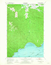
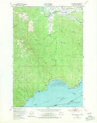
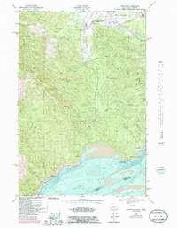
Editions of this 1949 Knappton Map
5 editions found

Other maps of this area

1919 · Astoria
USGS Topo · 1:62,500

1938 · Fort Columbia
USGS Topo · 1:62,500

1939 · Astoria
USGS Topo · 1:62,500

1940 · Svensen
USGS Topo · 1:62,500

1940 · Brookfield
USGS Topo · 1:62,500

1943 · Fort Columbia
USGS Topo · 1:62,500

1949 · Astoria
USGS Topo · 1:24,000

1949 · Chinook
USGS Topo · 1:24,000

1949 · Upper Naselle River
USGS Topo · 1:24,000

1949 · Oman Ranch
USGS Topo · 1:24,000