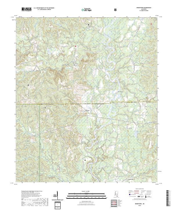
2024 Map of Knobtown
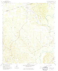
USGS Topo · Published 2024This historical map portrays the area of Knobtown in 2024, primarily covering Wayne County as well as portions of Greene County. Featuring a scale of 1:24000, this map provides a highly detailed snapshot of the terrain, roads, buildings, counties, and historical landmarks in the Knobtown region at the time. Published in 2024, it is the sole known edition of this map.
Map Details
Editions of this 2024 Knobtown Map
This is the sole edition of this map. No revisions or reprints were ever made.
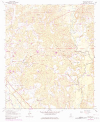
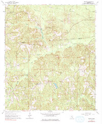
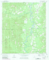
Historical Maps of Greene County Through Time
17 maps found
1964 Denham
Wayne County, MS
1964 Eucutta
Wayne County, MS
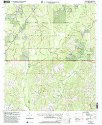
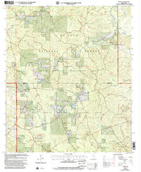
1964 Knobtown
Wayne County, MS
1964 Matherville
Wayne County, MS
1964 Mulberry
Wayne County, MS
1964 Piave
Wayne County, MS
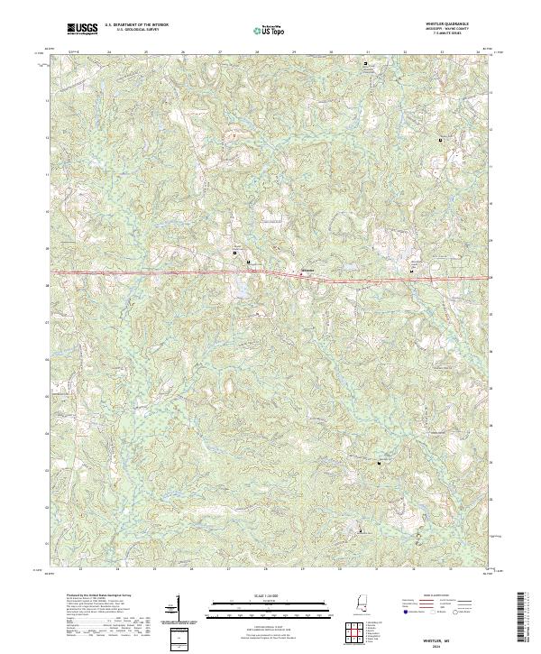
1964 Whistler
Wayne County, MS
2000 Mulberry
Wayne County, MS
2000 Piave
Wayne County, MS
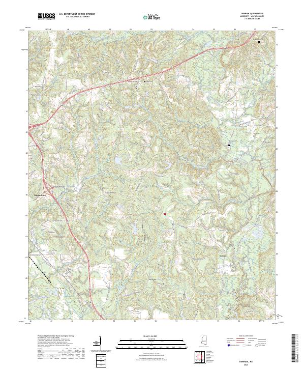
2024 Denham
Wayne County, MS
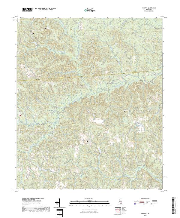
2024 Eucutta
Wayne County, MS
2024 Knobtown
Wayne County, MS
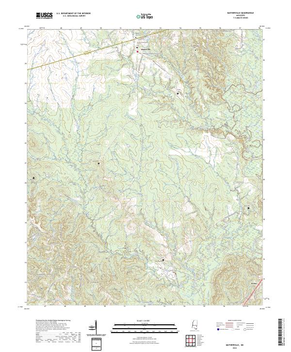
2024 Matherville
Wayne County, MS
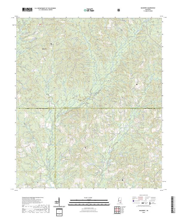
2024 Mulberry
Wayne County, MS
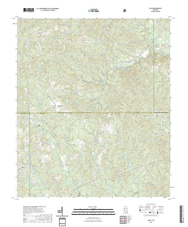
2024 Piave
Wayne County, MS
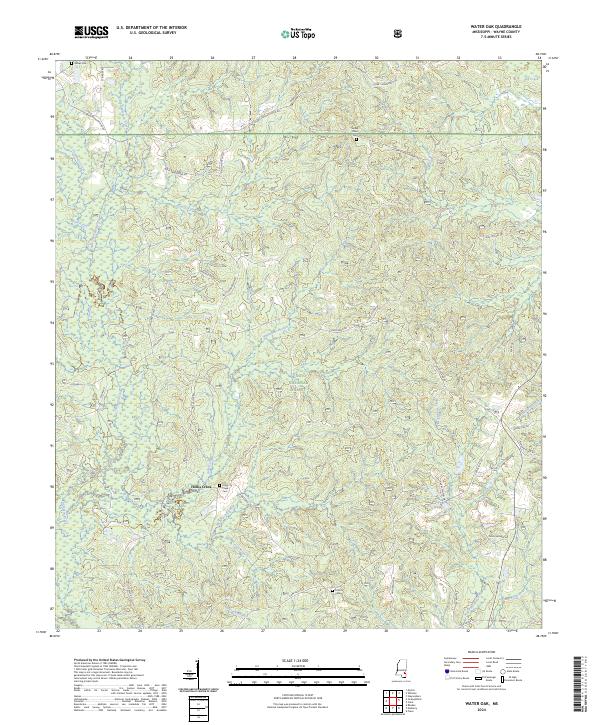
2024 Water Oak
Wayne County, MS
2024 Whistler
Wayne County, MS