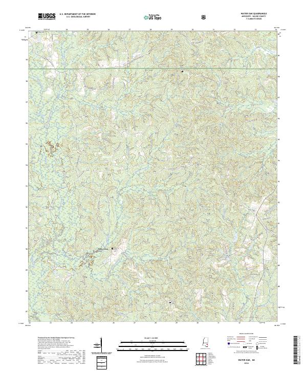
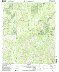
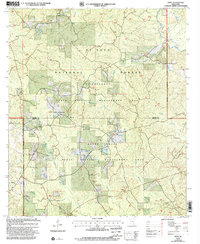
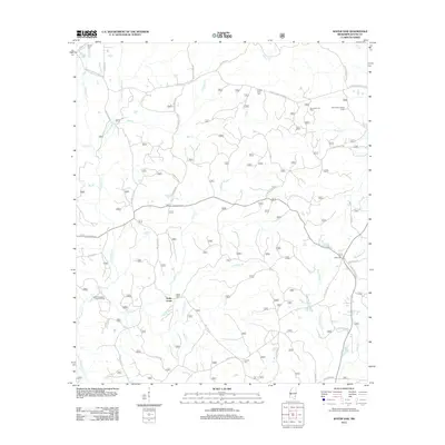
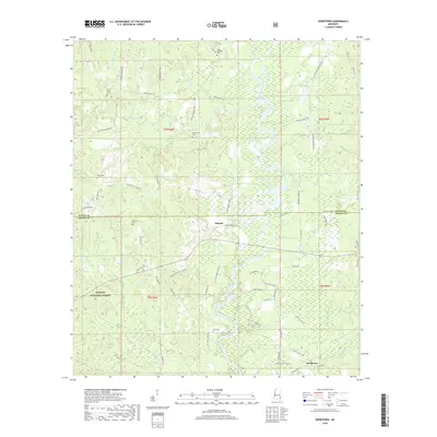
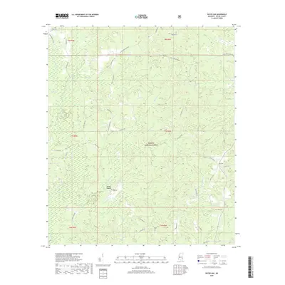
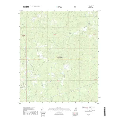
2024 Map of Water Oak
USGS Topo · Published 2024About this map
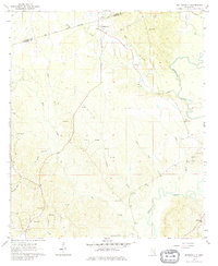
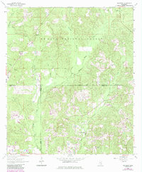
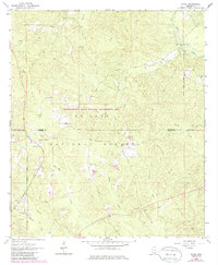
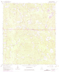
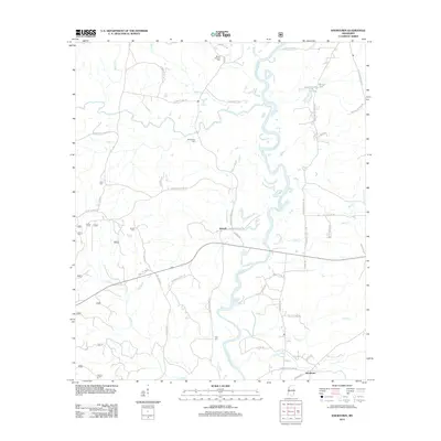
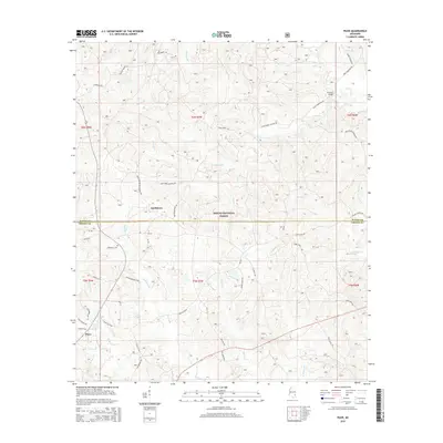
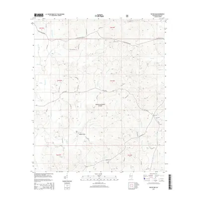
De Soto National Forest covers much of this landscape in southern Mississippi, where the headwaters of numerous waterways like Thompson Creek and Big Creek carve through the terrain. The settlement of Hollis Creek sits near the center of the sheet, marked by the Hollis Creek Cem and a network of rural routes such as Pine Grove Rd and Nelson Shirley Rd.
Find a feature on this map
51 named features on this map. Tap any name to fly to it.
Don’t see what you’re looking for? This feature index may not catch every label — zoom into the map to look around manually.
Map Details
Editions of this 2024 Water Oak Map
This is the sole edition of this map. No revisions or reprints were ever made.
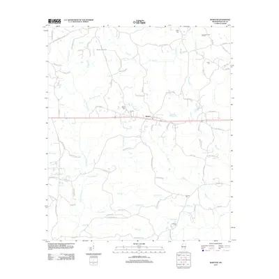
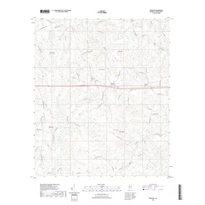
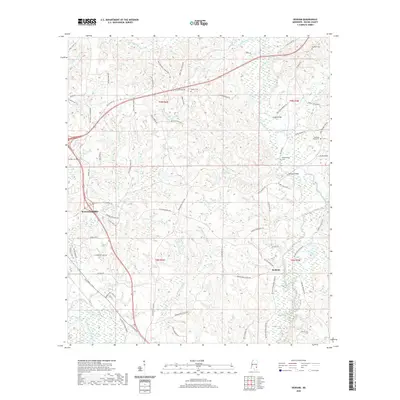
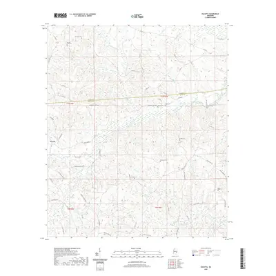
Historical Maps of Hollis Creek Through Time
49 maps found
1964 Denham
Wayne County, MS
1964 Eucutta
Wayne County, MS
1964 Knobtown
Wayne County, MS
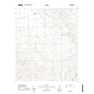
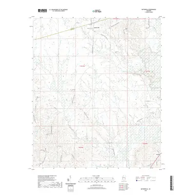
1964 Matherville
Wayne County, MS
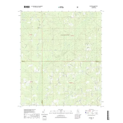
1964 Mulberry
Wayne County, MS
1964 Piave
Wayne County, MS
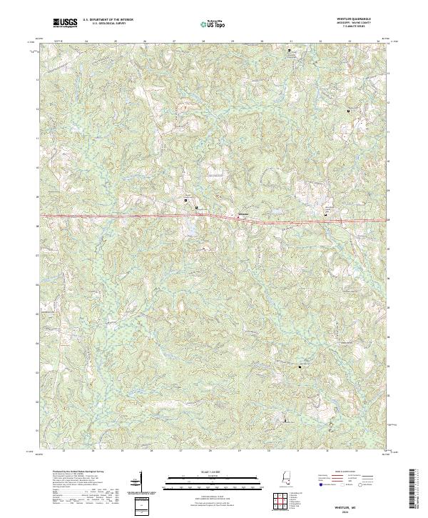
1964 Whistler
Wayne County, MS
2000 Mulberry
Wayne County, MS
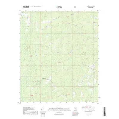
2000 Piave
Wayne County, MS
2012 Denham
Wayne County, MS
2012 Eucutta
Wayne County, MS
2012 Knobtown
Wayne County, MS
2012 Matherville
Wayne County, MS
2012 Mulberry
Wayne County, MS
2012 Piave
Wayne County, MS
2012 Water Oak
Wayne County, MS
2012 Whistler
Wayne County, MS
2015 Denham
Wayne County, MS
2015 Eucutta
Wayne County, MS
2015 Knobtown
Wayne County, MS
2015 Matherville
Wayne County, MS
2015 Mulberry
Wayne County, MS
2015 Piave
Wayne County, MS
2015 Water Oak
Wayne County, MS
2015 Whistler
Wayne County, MS
2018 Denham
Wayne County, MS
2018 Eucutta
Wayne County, MS
2018 Knobtown
Wayne County, MS
2018 Matherville
Wayne County, MS
2018 Mulberry
Wayne County, MS
2018 Piave
Wayne County, MS
2018 Water Oak
Wayne County, MS
2018 Whistler
Wayne County, MS
2020 Denham
Wayne County, MS
2020 Eucutta
Wayne County, MS
2020 Matherville
Wayne County, MS
2020 Whistler
Wayne County, MS
2021 Knobtown
Wayne County, MS
2021 Mulberry
Wayne County, MS
2021 Piave
Wayne County, MS
2021 Water Oak
Wayne County, MS
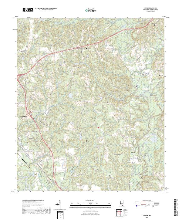
2024 Denham
Wayne County, MS
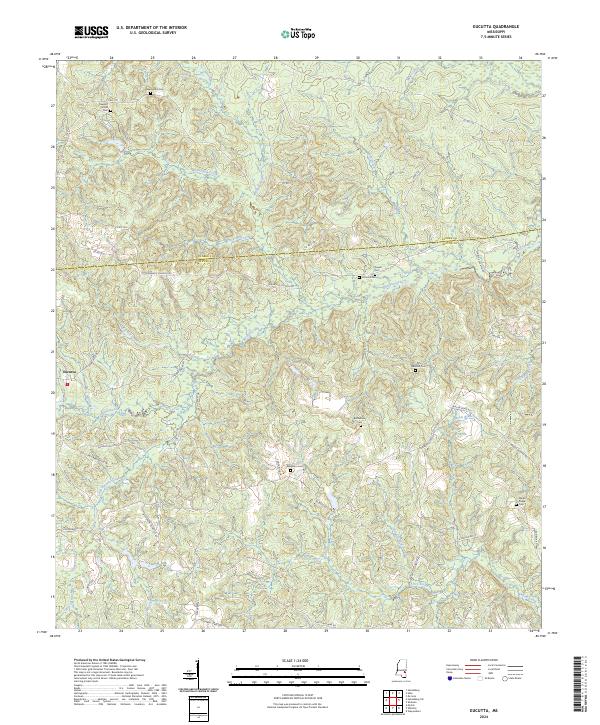
2024 Eucutta
Wayne County, MS
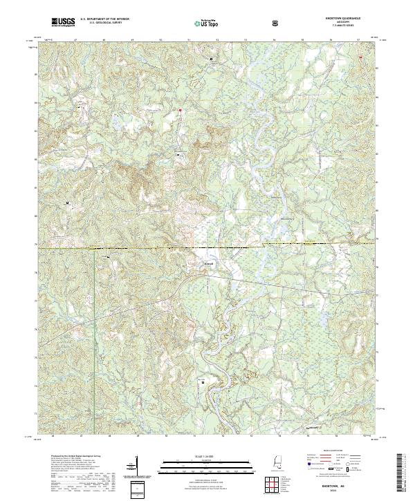
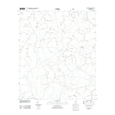
2024 Knobtown
Wayne County, MS
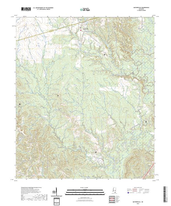
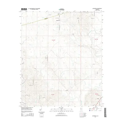
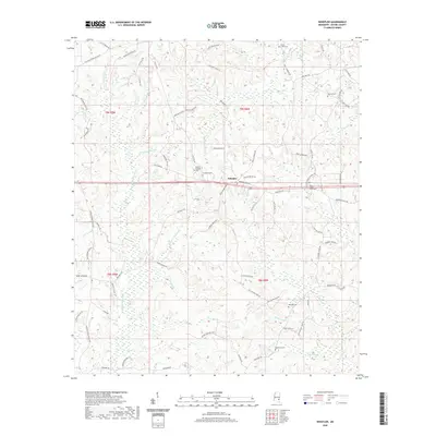
2024 Matherville
Wayne County, MS
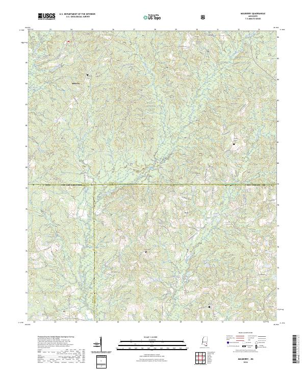
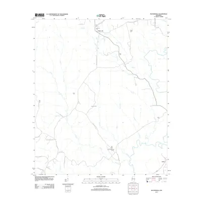
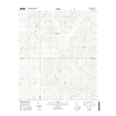
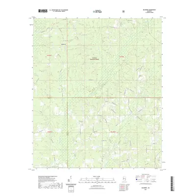
2024 Mulberry
Wayne County, MS
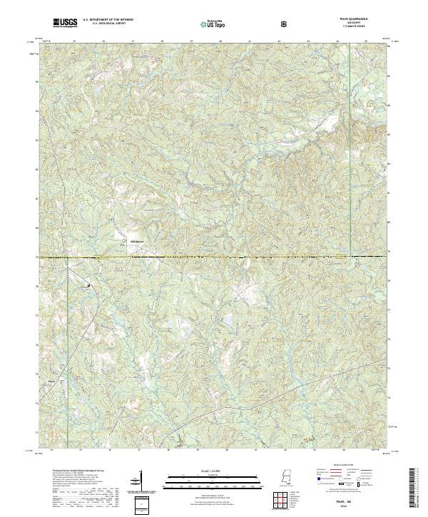
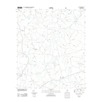
2024 Piave
Wayne County, MS
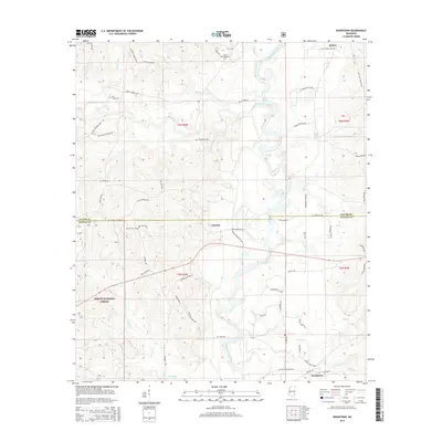
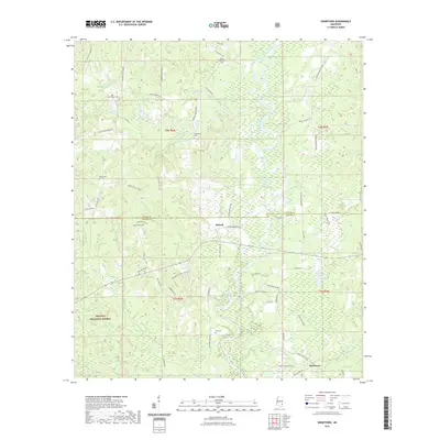
2024 Water Oak
Wayne County, MS
2024 Whistler
Wayne County, MS