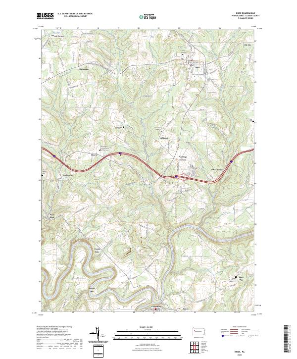
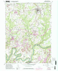
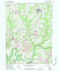
1963 Map of Knox
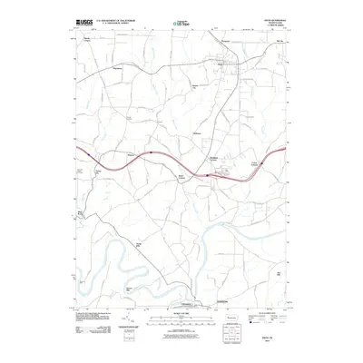
USGS Topo · Published 1965About this map
The Baltimore And Ohio railroad tracks run through the borough of Knox, serving as a central artery for Clarion County's industrial and agricultural transport in the early 1960s. This landscape is defined by the winding course of the Clarion River to the south and the dissected plateau character of Ashland, Salem, and Beaver townships. The map documents an economy rooted in resource extraction, evidenced by numerous Strip Mine operations and countless oil and gas wells scattered across the hillsides near Wentlings Corners and Blairs Corners.
Find a feature on this map
41 named features on this map. Tap any name to fly to it.
Don’t see what you’re looking for? This feature index may not catch every label — zoom into the map to look around manually.
Map Details
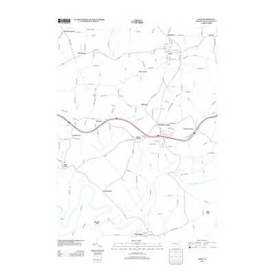
Editions of this 1963 Knox Map
4 editions found
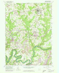
Historical Maps of Monroe Through Time
6 maps found