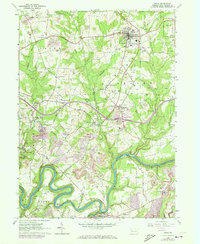
1963 Map of Knox
USGS Topo · Published 1973About this map
Knox serves as a primary hub of settlement in this early 1960s survey of Clarion County, where the Baltimore and Ohio railroad corridor intersects with a landscape heavily defined by resource extraction. Extensive strip mines and numerous gas wells punctuate the terrain, reflecting the industrial character of the region. The Clarion River winds through the southern portion of the map, creating dramatic bends like the Turnip Hole and passing through the historic community of Callensburg.
Find a feature on this map
47 named features on this map. Tap any name to fly to it.
Don’t see what you’re looking for? This feature index may not catch every label — zoom into the map to look around manually.
Map Details
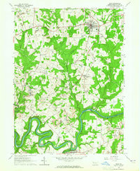
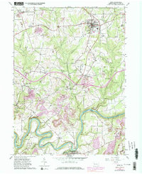
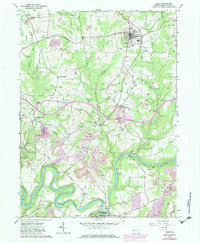
Editions of this 1963 Knox Map
4 editions found
Other maps of this area

1906 · Clarion
USGS Topo · 1:62,500

1907 · Clarion
USGS Topo · 1:62,500

1907 · Foxburg
USGS Topo · 1:62,500

1908 · Foxburg
USGS Topo · 1:62,500

1922 · Oil City
USGS Topo · 1:48,000

1922 · Tionesta
USGS Topo · 1:62,500

1924 · Oil City
USGS Topo · 1:62,500

1924 · Tionesta
USGS Topo · 1:62,500

1943 · Oil City
USGS Topo · 1:62,500

1946 · Tionesta
USGS Topo · 1:62,500