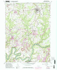
1963 Map of Knox
USGS Topo · Published 1980About this map
Industrial and rural landscapes intersect in this portion of Clarion County, where the Oil Field and numerous pipelines dominate the northern terrain near Knox. The survey captures a network of small crossroads communities such as Wentlings Corners and Blairs Corners, alongside remnants of earlier iron production at Canoe Furnace. The southern half of the sheet is defined by the winding course of the Clarion River, featuring distinctive river bends like the Turnip Hole and crossing points such as Canoe Ripple. Local spiritual life is well-documented through several country churches, including St Marks Ch and Providence Ch. The presence of Strip Mines and the Baltimore and Ohio railroad corridor highlights the region's reliance on extractive industries and heavy transport during the early 1960s.
Find a feature on this map
45 named features on this map. Tap any name to fly to it.
Don’t see what you’re looking for? This feature index may not catch every label — zoom into the map to look around manually.
Map Details
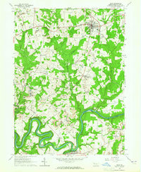
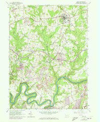
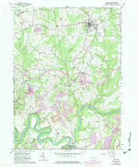
Editions of this 1963 Knox Map
4 editions found
Other maps of this area

1906 · Clarion
USGS Topo · 1:62,500

1907 · Clarion
USGS Topo · 1:62,500

1907 · Foxburg
USGS Topo · 1:62,500

1908 · Foxburg
USGS Topo · 1:62,500

1922 · Oil City
USGS Topo · 1:48,000

1922 · Tionesta
USGS Topo · 1:62,500

1924 · Oil City
USGS Topo · 1:62,500

1924 · Tionesta
USGS Topo · 1:62,500

1943 · Oil City
USGS Topo · 1:62,500

1946 · Tionesta
USGS Topo · 1:62,500