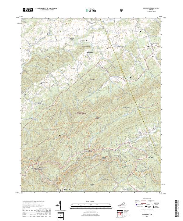
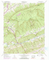
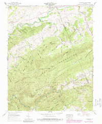
2022 Map of Konnarock
USGS Topo · Published 2022About this map
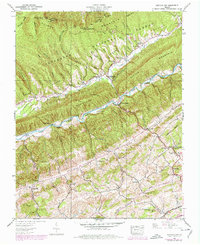
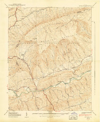
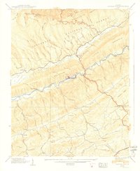
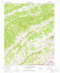
The Jefferson National Forest dominates this section of the Southwest Virginia highlands, where high ridges like Grosses Mtn and Feathercamp Ridge divide the landscape into narrow valleys and coves. The historic path of the Virginia Creeper Trl follows the winding course of Whitetop Laurel Creek, passing through settlements like Taylors Valley and Creek Junction. This rail-to-trail corridor, alongside the Appalachian National Scenic Trail, highlights the region's shift from industrial timber and rail operations to a landscape of conservation and recreation. To the north, the South Fork Holston River meanders through more open terrain near Loves Mill and Friendship. Local history is preserved in numerous family and community burial grounds, including the Macedonia Cem and Kelly Chapel Cem, while the namesake community of Konnarock sits at the base of Whitetop Mountain.
Find a feature on this map
131 named features on this map. Tap any name to fly to it.
Don’t see what you’re looking for? This feature index may not catch every label — zoom into the map to look around manually.
Map Details
Editions of this 2022 Konnarock Map
This is the sole edition of this map. No revisions or reprints were ever made.
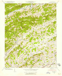
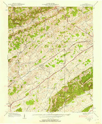
Historical Maps of Azen Through Time
19 maps found

1934 Brumley
Washington County, VA
1934 Wallace
Washington County, VA
1934 Wyndale
Washington County, VA
1935 Hayters Gap
Washington County, VA

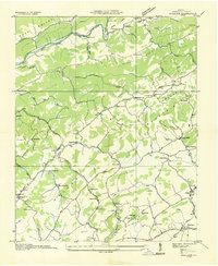
1935 Konnarock
Washington County, VA
1938 Brumley
Washington County, VA
1938 Hayters Gap
Washington County, VA
1938 Wallace
Washington County, VA
1938 Wyndale
Washington County, VA
1939 Brumley
Washington County, VA
1939 Hayters Gap
Washington County, VA
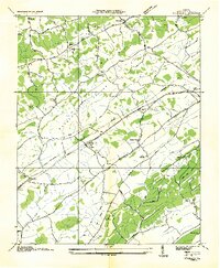
1959 Konnarock
Washington County, VA
1960 Wallace
Washington County, VA
1960 Wyndale
Washington County, VA
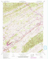
2022 Brumley
Washington County, VA
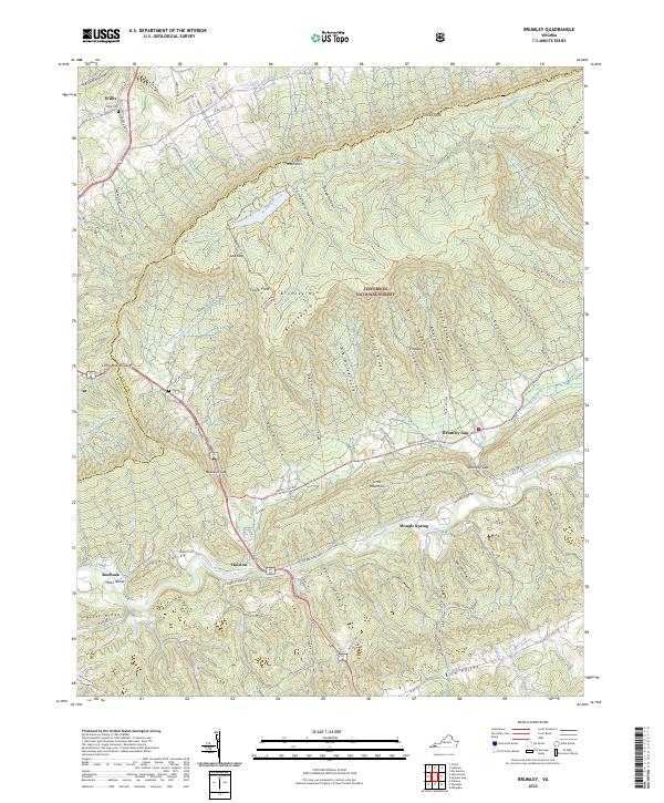
2022 Hayters Gap
Washington County, VA
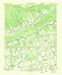
2022 Konnarock
Washington County, VA
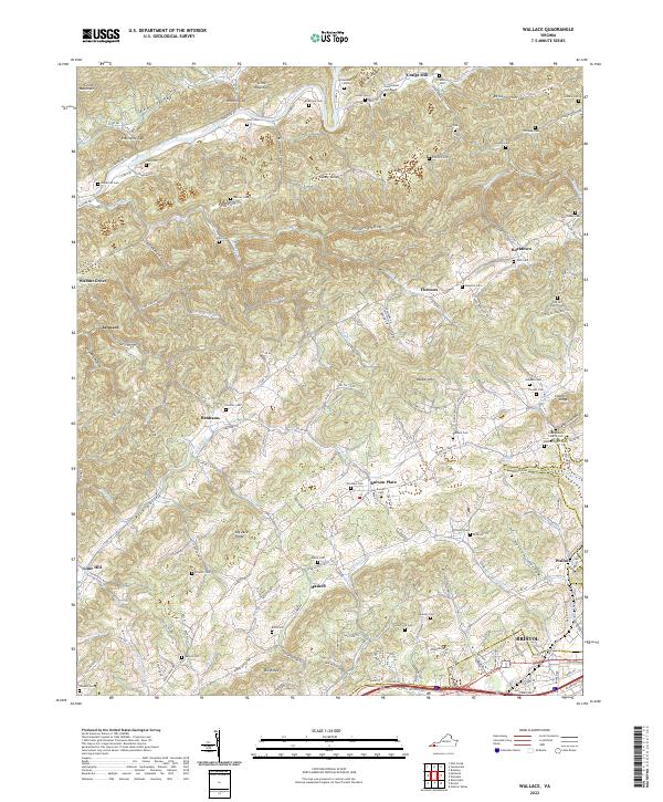
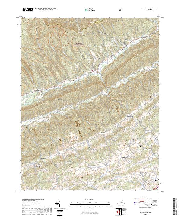
2022 Wallace
Washington County, VA
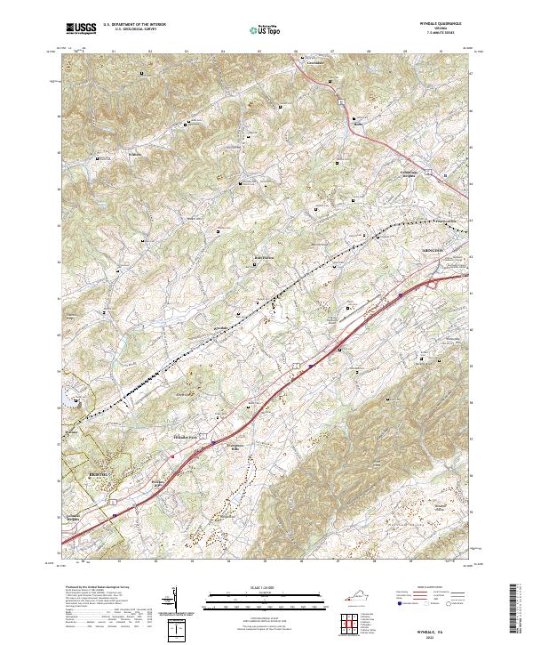
2022 Wyndale
Washington County, VA