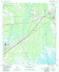
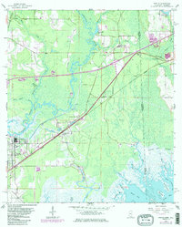
1958 Map of Kreole
USGS Topo · Published 1986About this map
The Escatanpa River meanders through a landscape of tidal marsh and pine flatwoods along the Mississippi and Alabama border. This 1958 survey, updated with 1980s data, documents the industrial and residential growth of Moss Point and the adjacent community of Kreole. The Seaboard railroad corridor serves as a primary axis for these settlements, cutting through the dense Grand Bay Swamp toward the coast.
Find a feature on this map
48 named features on this map. Tap any name to fly to it.
Don’t see what you’re looking for? This feature index may not catch every label — zoom into the map to look around manually.
Map Details
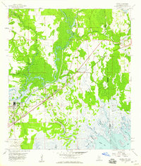
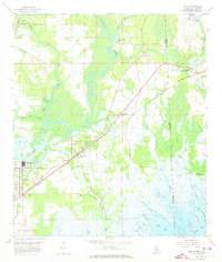
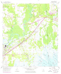
Editions of this 1958 Kreole Map
5 editions found
Other maps of this area

1921 · Grand Bay
USGS Topo · 1:62,500

1941 · Hurley
USGS Topo · 1:62,500

1941 · Vancleave
USGS Topo · 1:62,500

1943 · Pascagoula
USGS Topo · 1:62,500

1943 · Grand Bay
USGS Topo · 1:62,500

1943 · Hurley
USGS Topo · 1:62,500

1943 · Vancleave
USGS Topo · 1:62,500

1944 · Vancleave
USGS Topo · 1:62,500

1953 · Mobile
USGS Topo · 1:250,000

1955 · Pascagoula
USGS Topo · 1:62,500