
1952 Map of Kwiguk
USGS Topo · Published 1952About this map
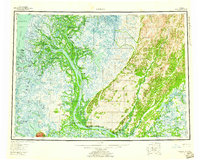
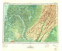
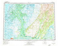
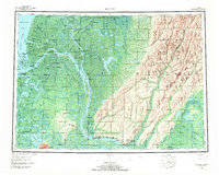
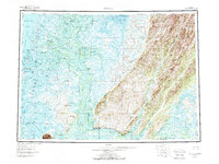
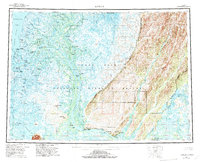
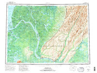
The Yukon Delta branches into a complex network of waterways as it approaches the Bering Sea, defining a landscape where travel is dictated by the seasons. The Yukon River and the Kwikpak River serve as the primary arteries, connected by numerous sloughs and passes like the Kwikpak Pass and Apoon Pass. This 1952 edition illustrates the distribution of seasonal and permanent habitations along these banks, from established settlements like Hamilton and Mountain Village to family-named landmarks such as Bill Moores and Patays Cabin. The presence of a Winter Trail stretching north toward Nunachik highlights the reliance on frozen routes for inland transit during the Alaskan winter. To the east, the terrain rises toward the Andreafsky Hills and Andreafsky Mountain, providing a stark contrast to the low-lying wetlands of the delta. This map serves as a detailed record of remote outposts like Akulurak P O and New Fort Hamilton during the mid-20th century.
Find a feature on this map
91 named features on this map. Tap any name to fly to it.
Don’t see what you’re looking for? This feature index may not catch every label — zoom into the map to look around manually.
Map Details
Editions of this 1952 Kwiguk Map
8 editions found
Other maps of this area

1947 · Russian Mission
USGS Topo · 1:250,000

1950 · Russian Mission
USGS Topo · 1:250,000

1951 · Marshall
USGS Topo · 1:250,000

1951 · Unalakleet
USGS Topo · 1:250,000

1951 · Hooper Bay
USGS Topo · 1:250,000

1951 · Black
USGS Topo · 1:250,000

1951 · St Michael
USGS Topo · 1:250,000

1951 · Holy Cross
USGS Topo · 1:250,000

1952 · Kwiguk D-1
USGS Topo · 1:63,360
1952 · Black C-1
USGS Topo · 1:63,360