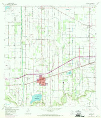
1956 Map of La Feria
USGS Topo · Published 1970About this map
Agricultural irrigation networks and petroleum infrastructure define this portion of the Rio Grande Valley during the mid-20th century. The landscape is dominated by a systematic grid of elevated ditches and canals feeding into major catchments like the La Feria Reservoir and Tiocano Lake. Industrial activity is centered on the Lacy Mercedes Gas Field in the northwest, while the dual presence of the Southern Pacific and Missouri Pacific railroads highlights the region's importance as a shipping corridor for citrus and produce.
Find a feature on this map
48 named features on this map. Tap any name to fly to it.
Don’t see what you’re looking for? This feature index may not catch every label — zoom into the map to look around manually.
Map Details
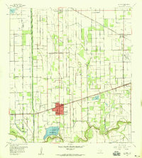
Editions of this 1956 La Feria Map
2 editions found
Other maps of this area

1929 · Harlingen
USGS Topo · 1:24,000

1929 · Santa Rosa
USGS Topo · 1:24,000

1929 · Santa Maria
USGS Topo · 1:24,000

1929 · La Feria
USGS Topo · 1:24,000

1929 · La Paloma
USGS Topo · 1:24,000

1932 · Combes
USGS Topo · 1:31,680

1932 · Harlingen
USGS Topo · 1:31,680

1933 · Santa Rosa
USGS Topo · 1:31,680

1936 · La Feria
USGS Topo · 1:31,680

1936 · Santa Maria
USGS Topo · 1:31,680