
1903 Map of La Jolla
USGS Topo · Published 1903About this map
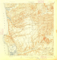
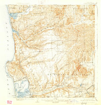
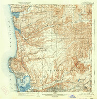
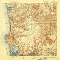
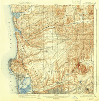
Pueblo Lands of San Diego dominate this coastal landscape, showing the transition from early Spanish-influenced land grants to early twentieth-century development. The Southern California R. R. carves a path through Soledad Valley and along the coastline, connecting the small coastal outposts of Delmar and La Jolla with the nascent urban center at Old Town. The presence of the Ex Mission San Diego and the expansive El Cajon boundary suggest the lingering influence of previous eras of land tenure. Inland, the geography is defined by a series of deep canyons, including Los Penasquitos and San Clemente Canyon, while small settlements like Merton and Miramar sit at high points above the valley floors. Water management is already visible at the La Mesa Reservoir and along the San Diego River, supporting the early growth of communities such as Pacific Beach and North San Diego.
Find a feature on this map
67 named features on this map. Tap any name to fly to it.
Don’t see what you’re looking for? This feature index may not catch every label — zoom into the map to look around manually.
Map Details
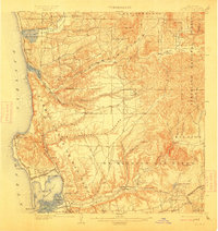
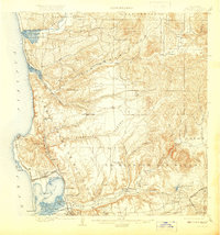
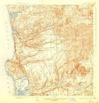
Editions of this 1903 La Jolla Map
9 editions found
Other maps of this area

1893 · El Cajon
USGS Topo · 1:62,500

1893 · Oceanside
USGS Topo · 1:62,500

1893 · Escondido
USGS Topo · 1:62,500

1898 · Oceanside
USGS Topo · 1:62,500

1901 · Elcajon
USGS Topo · 1:62,500

1901 · Escondido
USGS Topo · 1:62,500

1901 · Oceanside
USGS Topo · 1:62,500

1901 · San Luis Rey
USGS Topo · 1:125,000

1903 · Cuyamaca
USGS Topo · 1:125,000

1903 · Elcajon
USGS Topo · 1:62,500