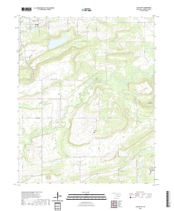
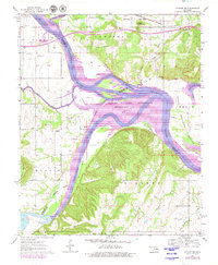
2022 Map of Lafayette
USGS Topo · Published 2022This historical map portrays the area of Lafayette in 2022, primarily covering Haskell County. Featuring a scale of 1:24000, this map provides a highly detailed snapshot of the terrain, roads, buildings, counties, and historical landmarks in the Lafayette region at the time. Published in 2022, it is the sole known edition of this map.
Map Details
Editions of this 2022 Lafayette Map
This is the sole edition of this map. No revisions or reprints were ever made.
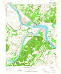
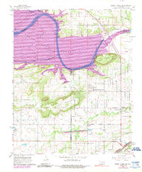
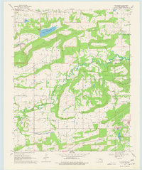
Historical Maps of Lafayette Through Time
19 maps found

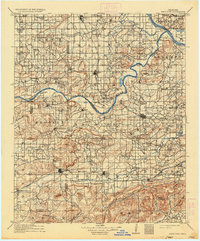
1909 Sans Bois
Haskell County, OK
1911 Sans Bois
Haskell County, OK
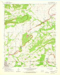
1962 Stigler East
Haskell County, OK
1962 Stigler West
Haskell County, OK
1963 Stigler NE
Haskell County, OK
1964 Stigler NE
Haskell County, OK
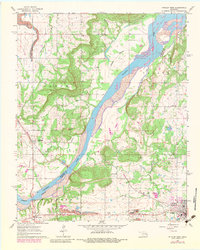
1967 Robert S Kerr Dam
Haskell County, OK
1968 Lafayette
Haskell County, OK
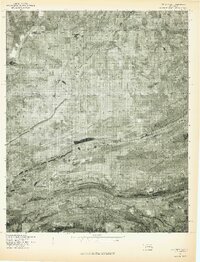
1968 Mc Curtain
Haskell County, OK
1969 Quinton North
Haskell County, OK
1969 Sans Bois
Haskell County, OK
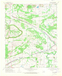
1977 Mc Curtain
Haskell County, OK
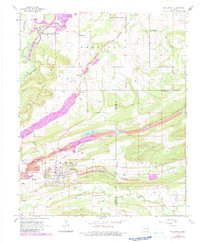
2022 Lafayette
Haskell County, OK
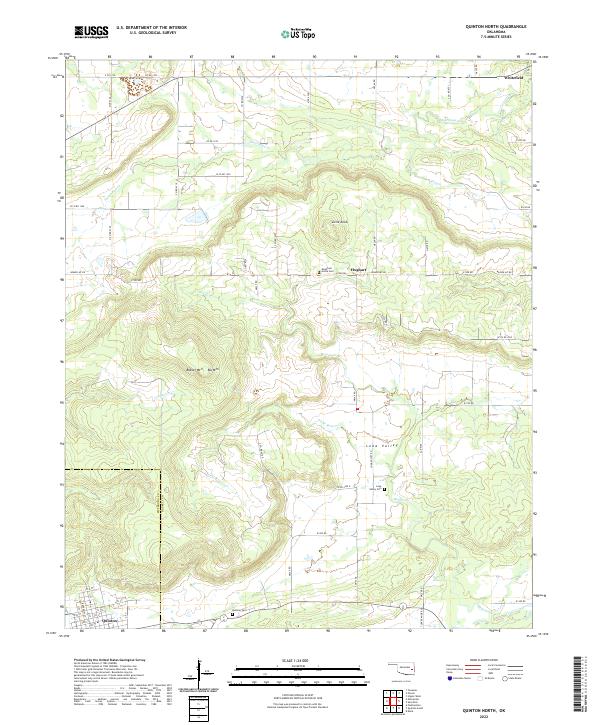
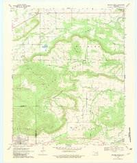
2022 Quinton North
Haskell County, OK

2022 Robert S Kerr Dam
Haskell County, OK
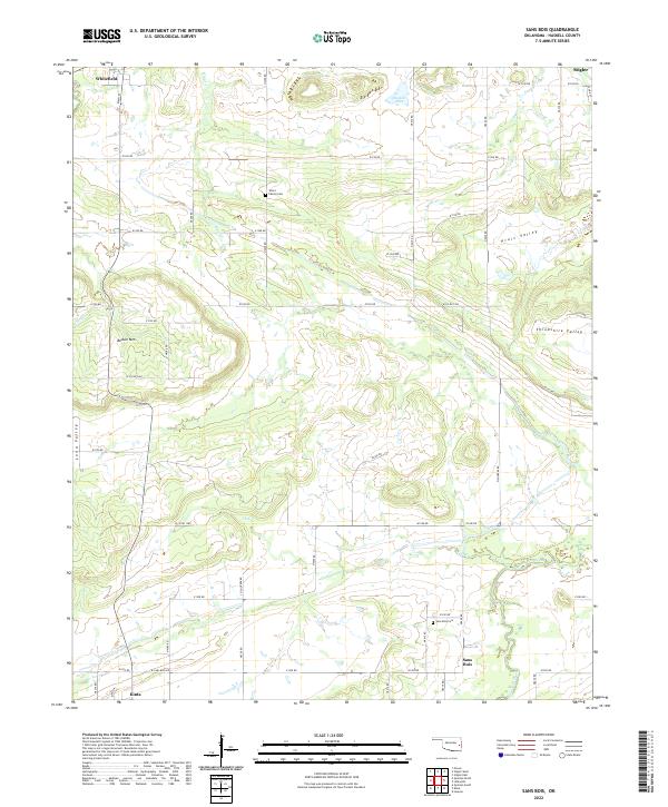
2022 Sans Bois
Haskell County, OK
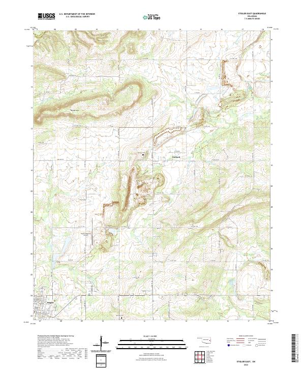
2022 Stigler East
Haskell County, OK
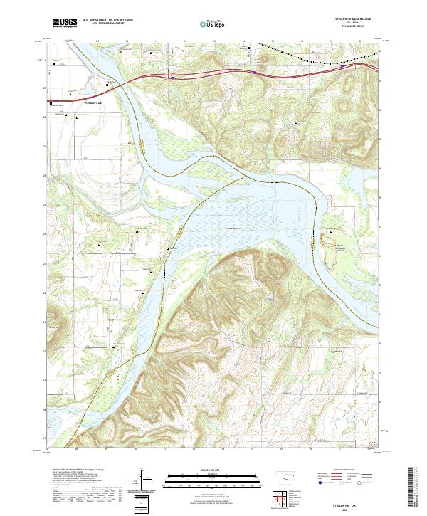
2022 Stigler NE
Haskell County, OK
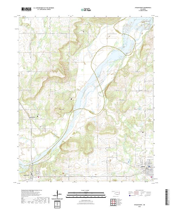
2022 Stigler West
Haskell County, OK