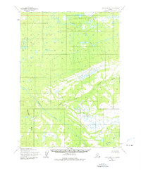
1954 Map of Lake Clark D-4
USGS Topo · Published 1976About this map
The Telaquana River flows across the northern expanse of this Alaska interior landscape, as documented through photogrammetric methods in the mid-1950s. The map illustrates a transitional wilderness where the Mulchatna River carves through the southern territory, fed by drainage from the Bonanza Hills. Unlike more settled regions, the area is defined by its topographic extremes rather than permanent structures, featuring prominent high points such as Turk and Trail.
Find a feature on this map
6 named features on this map. Tap any name to fly to it.
Don’t see what you’re looking for? This feature index may not catch every label — zoom into the map to look around manually.
Map Details
Editions of this 1954 Lake Clark D-4 Map
2 editions found

Other maps of this area

1946 · Lake Clark
USGS Topo · 1:250,000

1951 · Lake Clark
USGS Topo · 1:250,000

1951 · Lime Hills
USGS Topo · 1:250,000

1954 · Lake Clark C-3
USGS Topo · 1:63,360

1954 · Lime Hills A-5
USGS Topo · 1:63,360

1954 · Lake Clark C-4
USGS Topo · 1:63,360

1954 · Lime Hills A-3
USGS Topo · 1:63,360

1954 · Lake Clark D-3
USGS Topo · 1:63,360

1954 · Lime Hills A-4
USGS Topo · 1:63,360

1954 · Lake Clark D-5
USGS Topo · 1:63,360