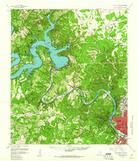
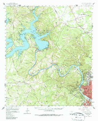
1959 Map of Lake Travis
USGS Topo · Published 1960About this map
Lake Travis and the winding Colorado River dominate this Central Texas landscape at a time of significant transition between rural ranching and suburban expansion. Controlled by the massive Mansfield Dam, the reservoir features numerous sprawling inlets such as the Sandy Creek Arm and Hurst Creek Arm. Smaller settlements and family ranch holdings like Schulze Ranch and Dies Ranch are still prominent across the Jollyville Plateau, while the growing footprint of Austin begins to creep into the southeastern corner. The map documents vital community sites, including the Pond Springs Cem and Jollyville Cem, alongside institutional landmarks like the Camp Mabry Military Res. This survey captures the mid-century character of the Highland Lakes region before later development further altered the canyons and ridges surrounding Lake Austin.
Find a feature on this map
106 named features on this map. Tap any name to fly to it.
Don’t see what you’re looking for? This feature index may not catch every label — zoom into the map to look around manually.
Map Details
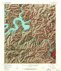
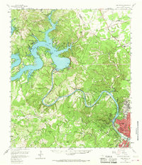
Editions of this 1959 Lake Travis Map
5 editions found
Other maps of this area

1887 · Blanco
USGS Topo · 1:125,000

1887 · Burnet
USGS Topo · 1:125,000

1893 · Georgetown
USGS Topo · 1:125,000

1893 · Burnet
USGS Topo · 1:125,000

1894 · Blanco
USGS Topo · 1:125,000

1896 · Austin
USGS Topo · 1:125,000

1897 · Austin
USGS Topo · 1:125,000

1903 · Burnet
USGS Topo · 1:125,000

1909 · Burnet
USGS Topo · 1:125,000

1910 · Austin
USGS Topo · 1:125,000