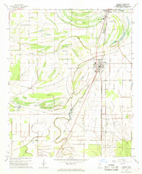
1967 Map of Lambert
USGS Topo · Published 1968About this map
Lambert and the surrounding Quitman County bottomlands are defined by a complex hydraulic landscape of bayous and former oxbows in the late 1960s. The town of Marks occupies the northern edge of the sheet, connected to the south by the Illinois Central railroad. This region is a study in the intersection of traditional agriculture and large-scale state infrastructure, most notably the State Penal Farm Camp B situated in the southeast.
Find a feature on this map
34 named features on this map. Tap any name to fly to it.
Don’t see what you’re looking for? This feature index may not catch every label — zoom into the map to look around manually.
Map Details
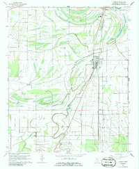
Editions of this 1967 Lambert Map
2 editions found
Other maps of this area

1908 · Jonestown
USGS Topo · 1:24,000

1910 · Jonestown
USGS Topo · 1:31,680

1932 · Sledge
USGS Topo · 1:48,000

1932 · Tutwiler
USGS Topo · 1:48,000

1932 · Marks
USGS Topo · 1:48,000

1935 · Crowder
USGS Topo · 1:62,500

1935 · Marks
USGS Topo · 1:62,500

1935 · Tutwiler
USGS Topo · 1:62,500

1935 · Sledge
USGS Topo · 1:62,500

1939 · Sledge
USGS Topo · 1:62,500