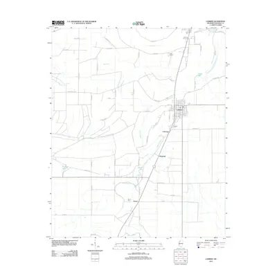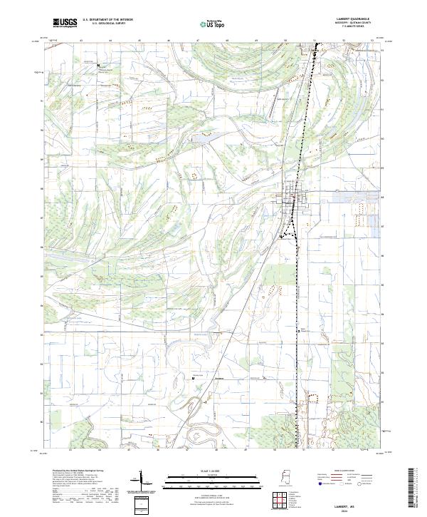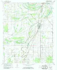
1967 Map of Lambert
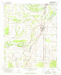
USGS Topo · Published 1986About this map
The Illinois Central railroad corridor anchors this 1967 snapshot of Quitman County, serving as the backbone for the agricultural towns of Lambert and Marks. The landscape is a complex network of Yazoo Basin drainage, where Buck Bayou and Opossum Bayou meander through cultivated fields, punctuated by ancient landforms like the Indian Mound near Buford Lake. This era shows a community deeply rooted in its local institutions, evidenced by a high density of rural churches and cemeteries such as Woodland Chapel, New Mt Carmel Ch, and Sykes Cem.
Find a feature on this map
35 named features on this map. Tap any name to fly to it.
Don’t see what you’re looking for? This feature index may not catch every label — zoom into the map to look around manually.
Map Details
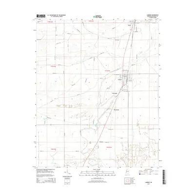
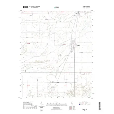
Editions of this 1967 Lambert Map
2 editions found
Historical Maps of Marks Through Time
6 maps found