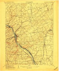
1906 Map of Lambertville
USGS Topo · Published 1906About this map
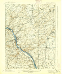
The Delaware River corridor serves as the primary artery for both commerce and transport in this 1906 survey of the New Jersey and Pennsylvania border. The twin settlements of Lambertville and New Hope anchor the river crossing, where the Delaware and Raritan Canal runs parallel to the water, facilitating regional trade. To the east, the landscape transitions into the rolling hills of East Amwell and West Amwell, characterized by a dense network of small hamlets like Ringoes, Larison Corner, and Sergeantsville.
Find a feature on this map
115 named features on this map. Tap any name to fly to it.
Don’t see what you’re looking for? This feature index may not catch every label — zoom into the map to look around manually.
Map Details
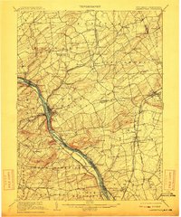
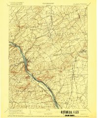
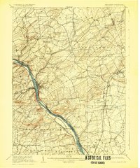
Editions of this 1906 Lambertville Map
6 editions found
Other maps of this area

1888 · Bordentown
USGS Topo · 1:62,500

1888 · Princeton
USGS Topo · 1:62,500

1890 · Easton
USGS Topo · 1:62,500

1890 · High Bridge
USGS Topo · 1:62,500

1890 · Lambertville
USGS Topo · 1:62,500

1890 · Doylestown
USGS Topo · 1:62,500

1890 · Burlington
USGS Topo · 1:62,500

1891 · Somerville
USGS Topo · 1:62,500

1891 · Easton
USGS Topo · 1:62,500

1891 · Lambertville
USGS Topo · 1:62,500
Featured Places
- Hillsborough Township, NJ
- Ewing Township, NJ
- Lawrence Township, NJ
- Lower Makefield Township, PA
- Raritan Township, NJ