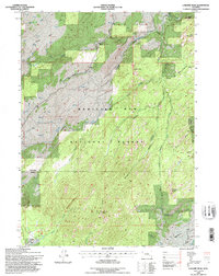
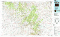
1992 Map of Laramie Peak
USGS Topo · Published 1996About this map
Laramie Peak dominates the southern landscape of this high-altitude terrain, providing a dramatic anchor for the boundary between Converse and Albany counties. Much of the territory is contained within the Medicine Bow National Forest, where a network of primitive routes and waterways defines the wilderness character of the region in the early 1990s. The presence of a Radio Tower atop the primary peak signifies the intersection of modern communications with the isolated mountain landscape.
Find a feature on this map
19 named features on this map. Tap any name to fly to it.
Don’t see what you’re looking for? This feature index may not catch every label — zoom into the map to look around manually.
Map Details
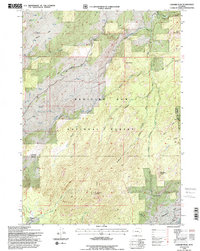
Editions of this 1992 Laramie Peak Map
2 editions found
Other maps of this area

1943 · Esterbrook
USGS Topo · 1:62,500

1945 · Esterbrook
USGS Topo · 1:62,500

1954 · Torrington
USGS Topo · 1:250,000

1958 · Torrington
USGS Topo · 1:250,000

1964 · Saddleback Mountain
USGS Topo · 1:24,000

1964 · Windy Peak
USGS Topo · 1:24,000

1968 · Cow Creek Mountain
USGS Topo · 1:24,000
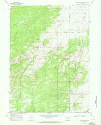
1968 · Fletcher Park
USGS Topo · 1:24,000
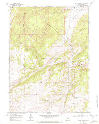
1968 · South Mountain
USGS Topo · 1:24,000
1981 · Laramie Peak
USGS Topo · 1:100,000