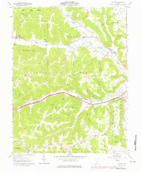
1961 Map of Latham
USGS Topo · Published 1976About this map
Sunfish Creek and its many winding tributaries, including Chenoweth Fork, carve through the deeply dissected landscape of western Pike County in the early 1960s. This survey, later updated in 1974, reveals a rural economy centered on the bottomlands where small communities like Latham, Idaho, and Elm Grove took root. The map details the intricate network of country roads connecting isolated family farms and religious centers such as Smith Chapel, Pennisten Chapel, and Beaver Chapel.
Find a feature on this map
71 named features on this map. Tap any name to fly to it.
Don’t see what you’re looking for? This feature index may not catch every label — zoom into the map to look around manually.
Map Details
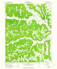
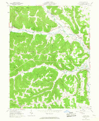
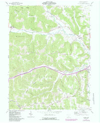
Editions of this 1961 Latham Map
4 editions found
Other maps of this area

1915 · Bainbridge
USGS Topo · 1:48,000

1915 · Otway
USGS Topo · 1:62,500

1915 · Piketon
USGS Topo · 1:62,500

1916 · Peebles
USGS Topo · 1:62,500

1917 · Bainbridge
USGS Topo · 1:62,500

1917 · Piketon
USGS Topo · 1:62,500

1917 · Otway
USGS Topo · 1:62,500

1918 · Peebles
USGS Topo · 1:62,500

1944 · Piketon
USGS Topo · 1:62,500

1947 · Columbus
USGS Topo · 1:250,000