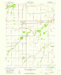
1960 Map of Latty
USGS Topo · Published 1961About this map
Latty and Haviland anchor this Paulding County landscape as it appeared in 1960, defined by the intersection of two major rail lines. The New York Chicago and St Louis railroad runs east-to-west through Broughton and Hedges, while the New York Central cuts north-to-south, passing through the heart of Latty. This grid-based agricultural region is drained by a network of winding waterways, including Flatrock Creek in the northwest and the meandering Blue Creek which flows across the central and southern portions of the map.
Find a feature on this map
29 named features on this map. Tap any name to fly to it.
Don’t see what you’re looking for? This feature index may not catch every label — zoom into the map to look around manually.
Map Details
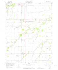
Editions of this 1960 Latty Map
2 editions found
Other maps of this area

1909 · Continental
USGS Topo · 1:62,500

1911 · Delphos
USGS Topo · 1:62,500

1914 · Van Wert
USGS Topo · 1:62,500

1914 · Paulding
USGS Topo · 1:62,500

1944 · Delphos
USGS Topo · 1:62,500

1944 · Van Wert
USGS Topo · 1:62,500

1944 · Paulding
USGS Topo · 1:62,500

1953 · Fort Wayne
USGS Topo · 1:250,000

1953 · Muncie
USGS Topo · 1:250,000

1956 · Muncie
USGS Topo · 1:250,000