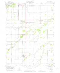
1960 Map of Latty
USGS Topo · Published 1974About this map
The rail junction at Latty serves as the focal point of this Northwest Ohio landscape, where the Norfolk And Western meets the Penn Central line. This 1960s-era topography illustrates a rural economy defined by these corridors and the small communities that grew alongside them, such as Broughton and Haviland. The terrain is drained by a complex network of named waterways including Flatrock Creek, Blue Creek, and Prairie Creek, which dictate the placement of local landmarks.
Find a feature on this map
28 named features on this map. Tap any name to fly to it.
Don’t see what you’re looking for? This feature index may not catch every label — zoom into the map to look around manually.
Map Details
Editions of this 1960 Latty Map
2 editions found
Other maps of this area

1909 · Continental
USGS Topo · 1:62,500

1911 · Delphos
USGS Topo · 1:62,500

1914 · Van Wert
USGS Topo · 1:62,500

1914 · Paulding
USGS Topo · 1:62,500

1944 · Delphos
USGS Topo · 1:62,500

1944 · Van Wert
USGS Topo · 1:62,500

1944 · Paulding
USGS Topo · 1:62,500

1953 · Fort Wayne
USGS Topo · 1:250,000

1953 · Muncie
USGS Topo · 1:250,000

1956 · Muncie
USGS Topo · 1:250,000