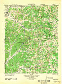
1944 Map of Laurelville
USGS Topo · Published 1944About this map
Adelphi and Laurelville anchor the northwestern corner of this territory, where the terrain breaks into the complex ridge-and-hollow systems of the Salt Creek watershed. This 1944 survey, compiled from earlier photography by C. H. Buttler, reveals a rural landscape defined by an incredibly dense network of one-room schoolhouses and country churches. The distribution of sites like Karshner School, Smith School, and Beech Grove School alongside Mt Carmel Church and Macedonia Church suggests a highly localized social structure common before mid-century school consolidations.
Find a feature on this map
83 named features on this map. Tap any name to fly to it.
Don’t see what you’re looking for? This feature index may not catch every label — zoom into the map to look around manually.
Map Details
Editions of this 1944 Laurelville Map
This is the sole edition of this map. No revisions or reprints were ever made.
Other maps of this area
1904 · Zaleski
USGS Topo · 1:62,500
1905 · Wilkesville
USGS Topo · 1:62,500
1906 · Waverly
USGS Topo · 1:62,500
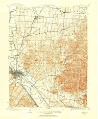
1906 · Chillicothe
USGS Topo · 1:62,500
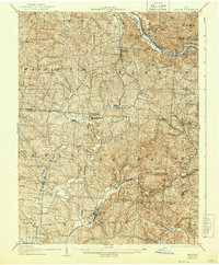
1907 · Zaleski
USGS Topo · 1:62,500
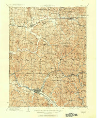
1907 · Logan
USGS Topo · 1:62,500
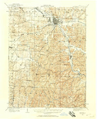
1907 · Lancaster
USGS Topo · 1:62,500
1908 · Chillicothe
USGS Topo · 1:62,500
1908 · Wilkesville
USGS Topo · 1:62,500
1908 · Waverly
USGS Topo · 1:62,500