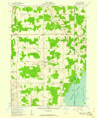
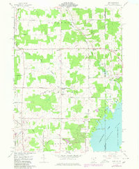
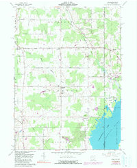
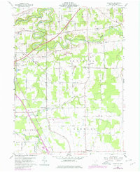
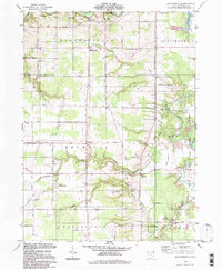
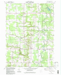
1959 Map of Leon
USGS Topo · Published 1961This historical map portrays the area of Leon in 1959, primarily covering Ashtabula County as well as portions of Pennsylvania. Featuring a scale of 1:24000, this map provides a highly detailed snapshot of the terrain, roads, buildings, counties, and historical landmarks in the Leon region at the time. Published in 1961, it is one of 6 known editions of this map due to revisions or reprints.
Find a feature on this map
54 named features on this map. Tap any name to fly to it.
Don’t see what you’re looking for? This feature index may not catch every label — zoom into the map to look around manually.
Map Details
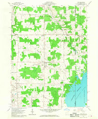
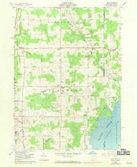
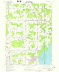
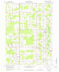
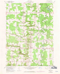
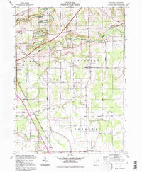
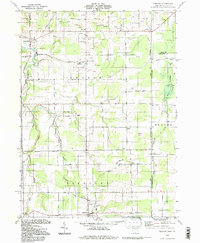
Editions of this 1959 Leon Map
6 editions found
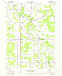
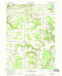
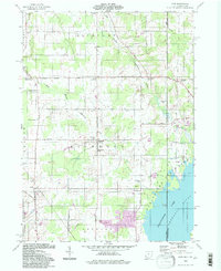
Historical Maps of North Shenango Township Through Time
16 maps found
1959 Cherry Valley
Ashtabula County, OH
1959 Dorset
Ashtabula County, OH
1959 East Trumbull
Ashtabula County, OH
1959 Leon
Ashtabula County, OH
1959 Windsor
Ashtabula County, OH
1960 Ashtabula North
Ashtabula County, OH
1960 Ashtabula South
Ashtabula County, OH
1960 Gageville
Ashtabula County, OH
1960 Pierpont
Ashtabula County, OH
1994 Cherry Valley
Ashtabula County, OH
1994 Dorset
Ashtabula County, OH
1994 East Trumbull
Ashtabula County, OH
1994 Gageville
Ashtabula County, OH
1994 Leon
Ashtabula County, OH
1994 Pierpont
Ashtabula County, OH
1994 Windsor
Ashtabula County, OH
Featured Locations
- Pymatuning Central, PA
- Pierpont Township, OH
- Andover Township, OH
- North Richmond, Pierpont Township
- Leon, Richmond Township