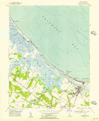
1954 Map of Lewes
USGS Topo · Published 1956About this map
The coastal marshlands and maritime corridors of Sussex County define this 1954 survey of the Delaware shore. The Broadkill River and Broadkill Sound separate the mainland from barrier features like Petersfield Island and Wall Island, while the Lewes and Rehoboth Canal provides a vital inland waterway connection near the town of Lewes. Along the coast, the expansive Great Marsh is punctuated by local landings such as Wiltbank Landing and Hazzard Landing, reflecting a landscape deeply tied to the tides of Delaware Bay.
Find a feature on this map
52 named features on this map. Tap any name to fly to it.
Don’t see what you’re looking for? This feature index may not catch every label — zoom into the map to look around manually.
Map Details
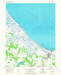
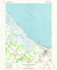
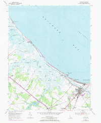
Editions of this 1954 Lewes Map
4 editions found
Other maps of this area

1917 · Millsboro
USGS Topo · 1:62,500

1918 · Cedar Creek
USGS Topo · 1:62,500

1918 · Rehoboth
USGS Topo · 1:62,500

1918 · Cape Henlopen
USGS Topo · 1:62,500

1919 · Cedar Creek
USGS Topo · 1:62,500

1937 · Cape Henlopen
USGS Topo · 1:62,500

1938 · Cedar Creek
USGS Topo · 1:62,500

1938 · Millsboro
USGS Topo · 1:62,500

1938 · Rehoboth
USGS Topo · 1:62,500

1943 · Fairmount
USGS Topo · 1:24,000