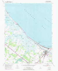
1954 Map of Lewes
USGS Topo · Published 1984About this map
The Broadkill River and its intricate network of marshes dominate this mid-century view of the Delaware coastline. Revisions from 1970 are overlaid in purple, showing the evolution of Lewes and its coastal defenses, including the North Jetty Light and South Jetty Light at Roosevelt Inlet. Inland, the landscape transitions from the expansive Great Marsh to small agricultural and residential nodes like Nassau, Overbrook, and Quakertown.
Find a feature on this map
60 named features on this map. Tap any name to fly to it.
Don’t see what you’re looking for? This feature index may not catch every label — zoom into the map to look around manually.
Map Details
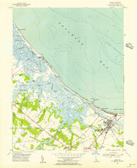
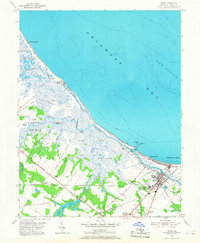
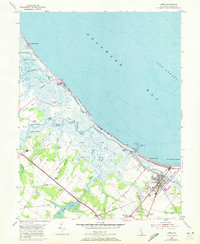
Editions of this 1954 Lewes Map
4 editions found
Other maps of this area

1917 · Millsboro
USGS Topo · 1:62,500

1918 · Cedar Creek
USGS Topo · 1:62,500

1918 · Rehoboth
USGS Topo · 1:62,500

1918 · Cape Henlopen
USGS Topo · 1:62,500

1919 · Cedar Creek
USGS Topo · 1:62,500

1937 · Cape Henlopen
USGS Topo · 1:62,500

1938 · Cedar Creek
USGS Topo · 1:62,500

1938 · Millsboro
USGS Topo · 1:62,500

1938 · Rehoboth
USGS Topo · 1:62,500

1943 · Fairmount
USGS Topo · 1:24,000