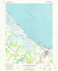
1954 Map of Lewes
USGS Topo · Published 1972About this map
Lewes serves as the focal point of this Delaware coastal study, which reflects the maritime and agricultural landscape of Sussex County following updates from 1970 aerial photography. The intricate network of the Broadkill River and its various reaches, such as No Mans Friend Reach and Flatland Reach, defines the hydrologic character of the Great Marsh area. Inland, the influence of the Penn Central railroad is evident, passing through small communities and rural intersections like Nassau and Quakertown. The map reveals the persistence of early land divisions and family-named landmarks, including Whites Chapel, Burtons Chapel, and Wescoats Corner. Along the coast, the engineering of Roosevelt Inlet and its North Jetty Light contrasts with the shifting sands of Broadkill Beach and Primehook Beach, illustrating the ongoing human efforts to manage the transition between the Delaware Bay and the fertile lowlands near Red Mill Pond.
Find a feature on this map
70 named features on this map. Tap any name to fly to it.
Don’t see what you’re looking for? This feature index may not catch every label — zoom into the map to look around manually.
Map Details
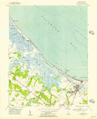
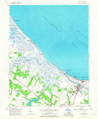
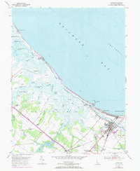
Editions of this 1954 Lewes Map
4 editions found
Other maps of this area

1917 · Millsboro
USGS Topo · 1:62,500

1918 · Cedar Creek
USGS Topo · 1:62,500

1918 · Rehoboth
USGS Topo · 1:62,500

1918 · Cape Henlopen
USGS Topo · 1:62,500

1919 · Cedar Creek
USGS Topo · 1:62,500

1937 · Cape Henlopen
USGS Topo · 1:62,500

1938 · Cedar Creek
USGS Topo · 1:62,500

1938 · Millsboro
USGS Topo · 1:62,500

1938 · Rehoboth
USGS Topo · 1:62,500

1943 · Fairmount
USGS Topo · 1:24,000