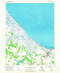
1954 Map of Lewes
USGS Topo · Published 1968About this map
The coastal marshlands and maritime infrastructure of Lewes dominate this mid-century survey, showcasing a landscape defined by its proximity to Delaware Bay. The Pennsylvania railroad line terminates near the coast, serving the U S Military Reservation (Fort Miles) and the busy Breakwater Harbor. Inland, the terrain is a complex network of waterways like the Broadkill River and Old Mill Creek, which wind through the Great Marsh toward small coastal settlements such as Broadkill Beach. The map records significant water-management features including the Lewes and Rehoboth Canal and the Roosevelt Inlet, alongside localized history at Whites Chapel and Burtons Chapel. These details illustrate the transition from a river-and-rail economy to one increasingly focused on coastal defense and growing beachfront communities like Primehook Beach.
Find a feature on this map
61 named features on this map. Tap any name to fly to it.
Don’t see what you’re looking for? This feature index may not catch every label — zoom into the map to look around manually.
Map Details
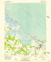
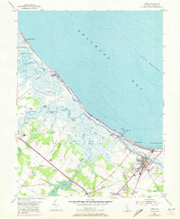
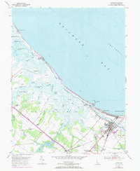
Editions of this 1954 Lewes Map
4 editions found
Other maps of this area

1917 · Millsboro
USGS Topo · 1:62,500

1918 · Cedar Creek
USGS Topo · 1:62,500

1918 · Rehoboth
USGS Topo · 1:62,500

1918 · Cape Henlopen
USGS Topo · 1:62,500

1919 · Cedar Creek
USGS Topo · 1:62,500

1937 · Cape Henlopen
USGS Topo · 1:62,500

1938 · Cedar Creek
USGS Topo · 1:62,500

1938 · Millsboro
USGS Topo · 1:62,500

1938 · Rehoboth
USGS Topo · 1:62,500

1943 · Fairmount
USGS Topo · 1:24,000