
1958 Map of Lewiston Orchards South
USGS Topo · Published 1960About this map
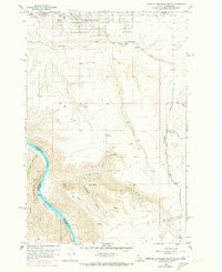
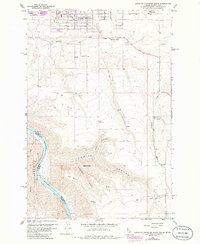
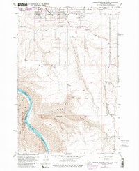
Lewiston Orchards and the agricultural lands south of the city appear here during the late 1950s, defined by the transition from suburban irrigation districts to deep river canyons. The map tracks the steep descent from Big Bench and Weissenfels Ridge down toward the Snake River, where Ackerman Bar sits across from the Nez Perce and Asotin County border. Local institutions such as the Nez Perce County Farm and Tammany School anchor the upland community near the Waha Road.
Find a feature on this map
24 named features on this map. Tap any name to fly to it.
Don’t see what you’re looking for? This feature index may not catch every label — zoom into the map to look around manually.
Map Details
Editions of this 1958 Lewiston Orchards South Map
4 editions found
Other maps of this area

1944 · Anatone
USGS Topo · 1:62,500

1945 · Clarkston
USGS Topo · 1:62,500

1946 · Limekiln Rapids
USGS Topo · 1:62,500

1946 · Anatone
USGS Topo · 1:62,500

1948 · Clarkston
USGS Topo · 1:62,500

1955 · Pullman
USGS Topo · 1:250,000

1958 · Pullman
USGS Topo · 1:250,000

1958 · Lapwai
USGS Topo · 1:24,000

1958 · Sweetwater
USGS Topo · 1:24,000

1958 · Lewiston Orchards North
USGS Topo · 1:24,000