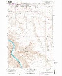
1958 Map of Lewiston Orchards South
USGS Topo · Published 1986About this map
Lewiston Orchards serves as the primary hub of development in this survey of Nez Perce County, showing a transition from agricultural plots to residential blocks near the Nez Perce County Farm. The landscape drops sharply from the plateau into the dramatic Tenmile Canyon and toward the Snake River, where the state line meets Washington. Along the river, features like Ackerman Bar and the settlement of Graham illustrate the geography of the canyon floor. Local social infrastructure is well-defined, with Tammany School and Upper Tammany Cemetery serving the rural community south of the main orchards. The topography is further marked by high features such as Weissenfels Ridge and several quarries, reflecting the region's geological and industrial character during the late 1950s and early 1970s revision period.
Find a feature on this map
26 named features on this map. Tap any name to fly to it.
Don’t see what you’re looking for? This feature index may not catch every label — zoom into the map to look around manually.
Map Details
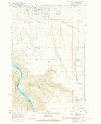
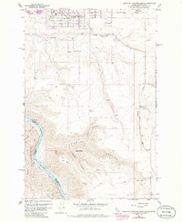
Editions of this 1958 Lewiston Orchards South Map
4 editions found

Other maps of this area

1944 · Anatone
USGS Topo · 1:62,500

1945 · Clarkston
USGS Topo · 1:62,500

1946 · Limekiln Rapids
USGS Topo · 1:62,500

1946 · Anatone
USGS Topo · 1:62,500

1948 · Clarkston
USGS Topo · 1:62,500

1955 · Pullman
USGS Topo · 1:250,000

1958 · Pullman
USGS Topo · 1:250,000

1958 · Lapwai
USGS Topo · 1:24,000

1958 · Sweetwater
USGS Topo · 1:24,000

1958 · Lewiston Orchards North
USGS Topo · 1:24,000