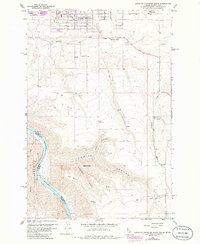
1958 Map of Lewiston Orchards South
USGS Topo · Published 1986About this map
Lewiston Orchards defines the northern plateau of this landscape, shown during a period of mid-century expansion south toward the Nez Perce and Asotin county line. The terrain transitions from the residential grids of the orchards into the dramatic drainages of Tenmile Canyon and Short Canyon, which drop toward the Snake River. The river corridor itself features notable river-level landmarks such as Ackerman Bar and the steep elevation of Weissenfels Ridge along the Washington-Idaho border.
Find a feature on this map
22 named features on this map. Tap any name to fly to it.
Don’t see what you’re looking for? This feature index may not catch every label — zoom into the map to look around manually.
Map Details
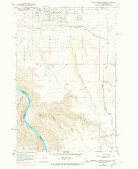
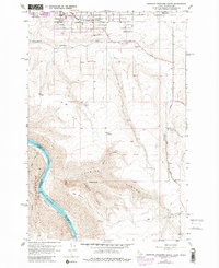
Editions of this 1958 Lewiston Orchards South Map
4 editions found

Other maps of this area

1944 · Anatone
USGS Topo · 1:62,500

1945 · Clarkston
USGS Topo · 1:62,500

1946 · Limekiln Rapids
USGS Topo · 1:62,500

1946 · Anatone
USGS Topo · 1:62,500

1948 · Clarkston
USGS Topo · 1:62,500

1955 · Pullman
USGS Topo · 1:250,000

1958 · Pullman
USGS Topo · 1:250,000

1958 · Lapwai
USGS Topo · 1:24,000

1958 · Sweetwater
USGS Topo · 1:24,000

1958 · Lewiston Orchards North
USGS Topo · 1:24,000