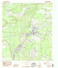
1984 Map of Liberty
USGS Topo · Published 1985About this map
The winding loops of the Trinity River define this mid-1980s landscape, illustrating the complex hydrology of the Texas Gulf Coast. The city of Liberty sits as the central hub, supported by the Port of Liberty on the riverbank and surrounded by a network of smaller communities like Kenefick, South Liberty, and Ames. This era is characterized by an intensive energy and transport infrastructure, evidenced by numerous pipelines, transmission lines, and an active Oil Field south of the main settlement.
Find a feature on this map
43 named features on this map. Tap any name to fly to it.
Don’t see what you’re looking for? This feature index may not catch every label — zoom into the map to look around manually.
Map Details
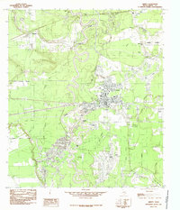
Editions of this 1984 Liberty Map
2 editions found
Other maps of this area

1943 · Liberty
USGS Topo · 1:125,000

1950 · Houston
USGS Topo · 1:250,000

1954 · Beaumont
USGS Topo · 1:250,000

1955 · Daisetta
USGS Topo · 1:62,500

1955 · Liberty
USGS Topo · 1:62,500

1956 · Houston
USGS Topo · 1:250,000

1957 · Beaumont
USGS Topo · 1:250,000

1961 · Shiloh
USGS Topo · 1:24,000
1961 · Sheeks
USGS Topo · 1:24,000
1961 · Moss Bluff
USGS Topo · 1:24,000